For the first time in sixteen years, I’m spending this Covid summer exploring my backyard (the entire state of Montana).
We headed down the highway with our 5th wheel RV for Camping adventure #3 to the Bitterroot National Forest near Hamilton, Montana. There are three campgrounds at Lake Como: (1) Lake Como lower site has electricity! This is a rare treat in U.S. National Forests, so it fills quickly on first-come-first serve basis. We arrived on a late Sunday afternoon–thinking people would be heading back home since the kids have started either on-line or reality school. No such luck. (2.) Three Frogs campground is just above the lake and is recommended for small RV’s or tent campers. Our rig might have been able to fit, but by that time we were already established at (3) Rock Creek horse camp which has large spots and neat horse related accessories. We had two quiet week nights with only 2 other campers. Mid-week, a group of trail riders arrived with horse trailers in tow. With fire restrictions the evenings were still very quiet.
Blodgett Canyon Hike
10 miles to Canyon lake–in and back. Rated: Moderate/difficult
After driving an hour on mainly washboard roads, I grabbed a soaking wet backpack out of the truck. The water bladder lid had loosened, spilling over a liter of water.
I knew the forecast was for 93 degree F. temperatures. But we arrived early and it was still cool. “Hey Bob–how much water did you pack?” I asked my companion. Between the two of us we had 1 liter and a pint. Not enough.
I’m ashamed to tell you that I ignored one important hiker’s rule. This shouldn’t have happened, because I consider myself experienced and fully understand that ignoring the rules can lead to harm or death
I should have headed back to town to fill up or done the hike the next day, and maybe went kayaking and swimming. Instead, ego as well as impatience led to a misdeed. I stuck with an imperfect plan and talked myself into a dangerous situation. “We can ration water and push through.”
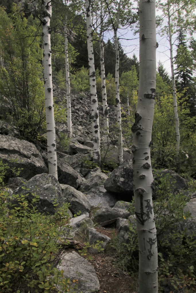
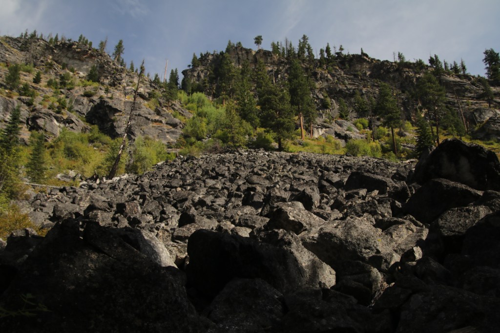
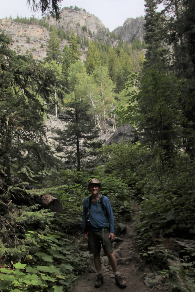
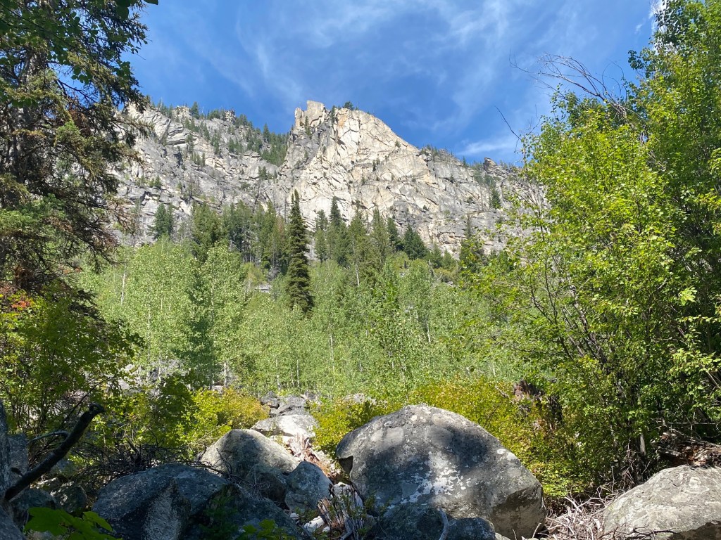
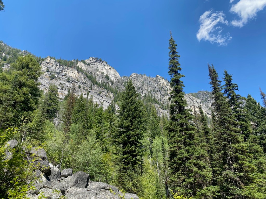
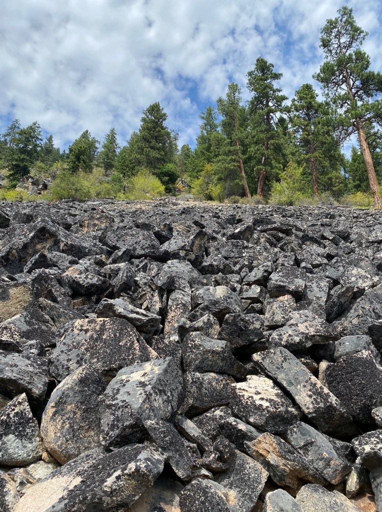
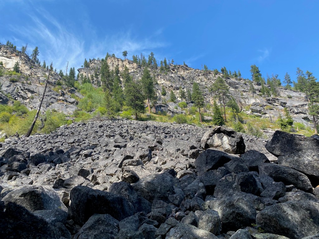
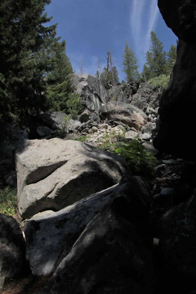
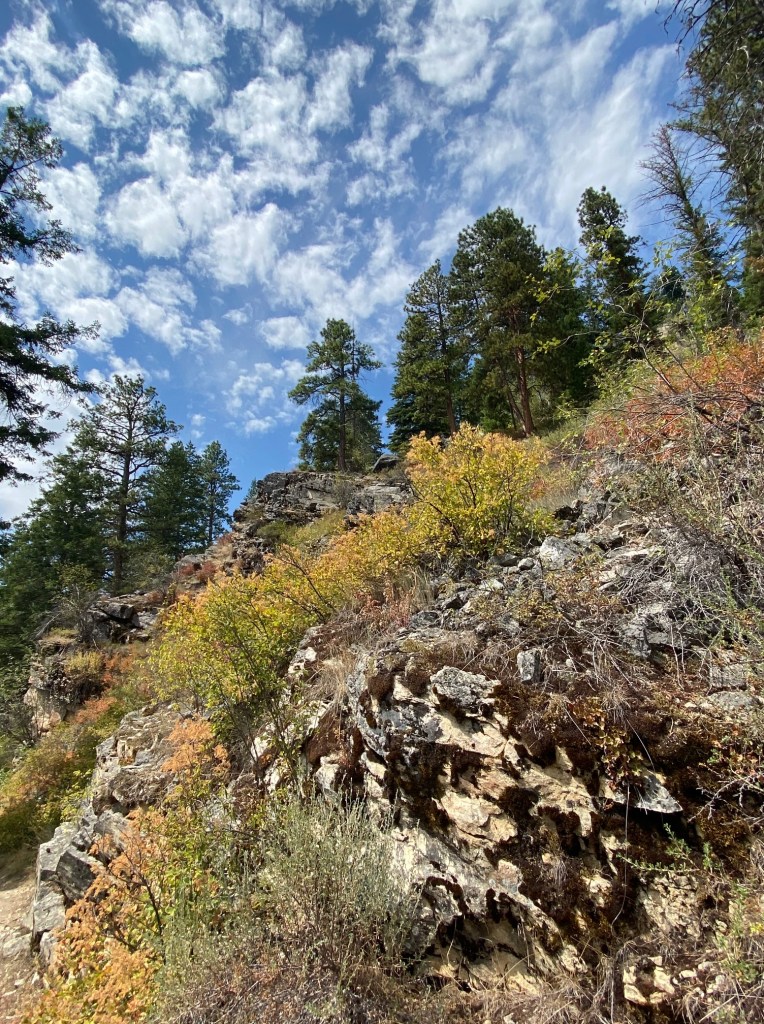
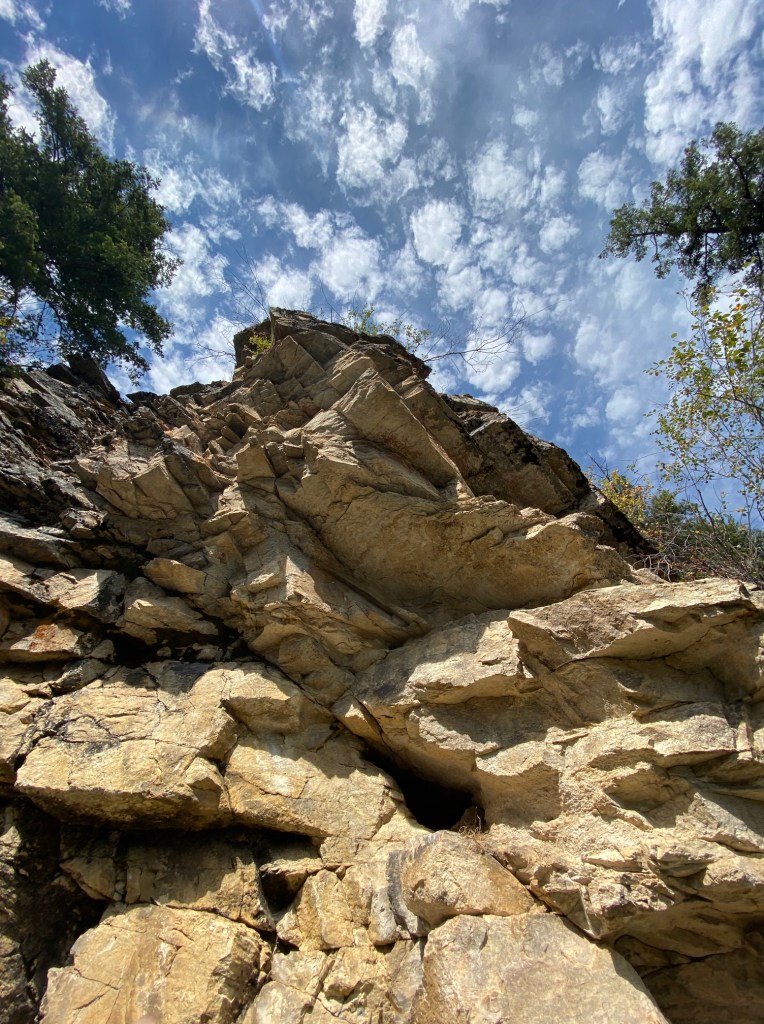
The trail is rated moderate and 10 miles (round trip) to Canyon Lake. For four hours we zigzagged around boulders and walked on glacial remains (uneven footing= toe kicking and ankle rolling). The trail in spots is sketchy and not marked well. Several times I found myself off-trail and in thick brush, requiring back-tracking. As temperatures soared, I got crabby. How difficult is it for the forest service to build cairn markers or nail up some signage?

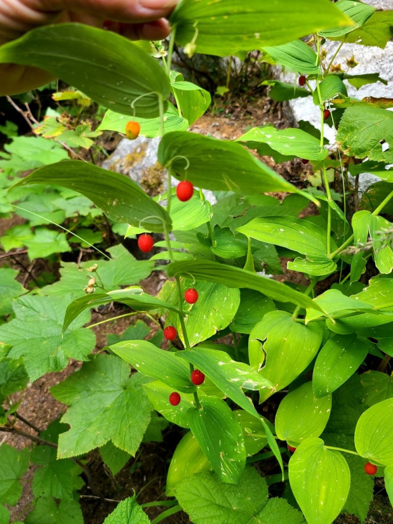
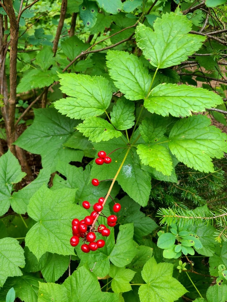
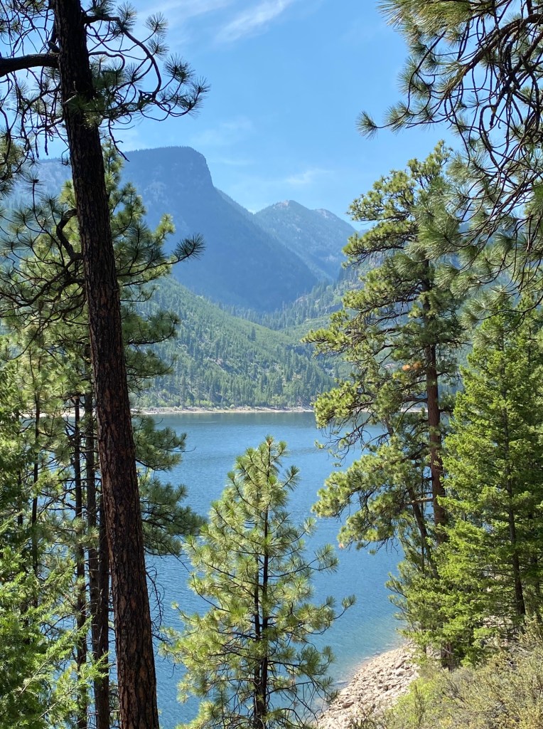
The fun part of listening to the roaring creek, viewing soaring canyon walls and checking out all kinds of berries evaporated. Especially when we reached a steep ascent (1,500′ in a short time) to the saddle where the lake is located.
We checked a digital map. Three-fourths of our water was gone and the remaining trek would be 2 miles up and back from this point. But I could see the top of the ridge. Pausing, I finally kicked myself in the backside and suggested turning around.
The last two miles back to the trail head were miserable. Symptoms of dehydration were evident: Lethargy, thirst, dry mouth, dizziness and headache. I hadn’t urinated in over 5 hours. I fell. We ran out of water. What a shit show.
I’ve never, ever been so happy to see a parking lot. I’m telling you this as a lesson. Pay attention to my mistakes. Furthermore, I promise to not be an idiot again.


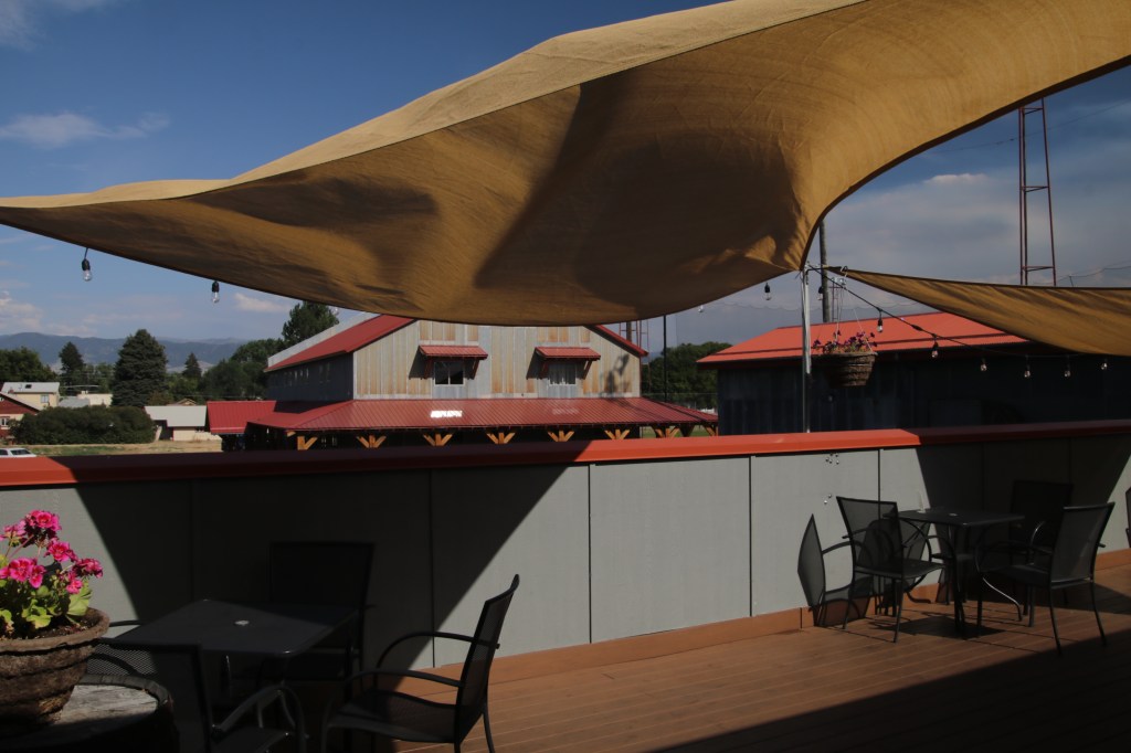
We hightailed it to Hamilton and the Bitterroot Brewery to recuperate and lick our wounds–cold water, super beers, and great food. Two outdoor patios to keep social distance.
Lake Como Waterfall Hike
7.2 miles in and out. Rated: Easy Elevation gain: 571′
Another day of temps in the nineties and I was still feeling physically out of sorts from the previous day’s errors. Instead of doing the loop trail around the lake, we started near three frogs campground on the north end of the lake. This was for two reasons: It’s a bit shorter than the loop and there’s a balance of shade/sun.

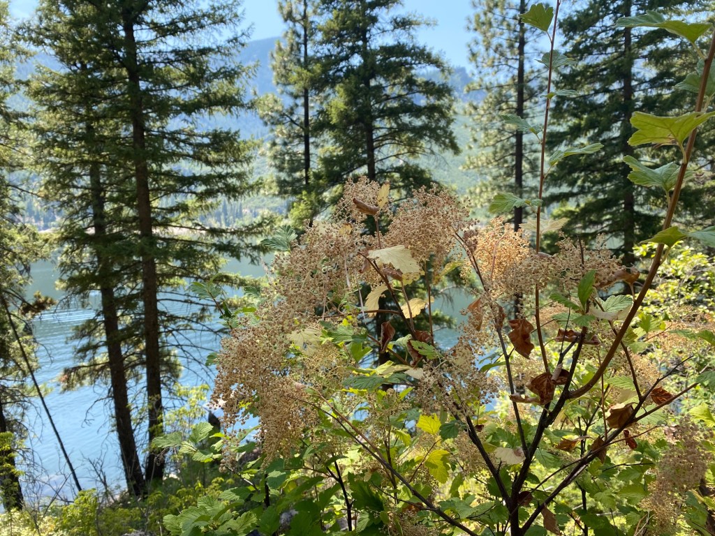
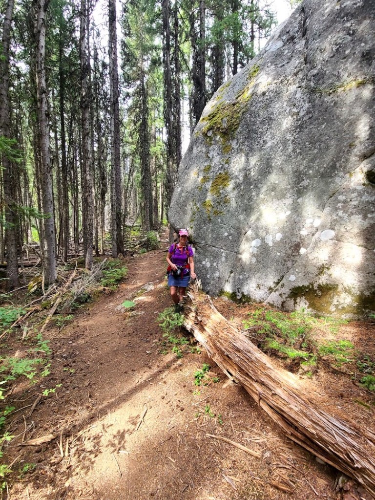
This trail starts on a flat blacktop surface that is handicap accessible. The route then continues single track, packed dirt that runs along a steep slope dotted with beautiful large Lodgepole Pine trees. Rock slides intersperse this terrain. Lake Como was once a canyon before the government built the earth dam that creates the lake.
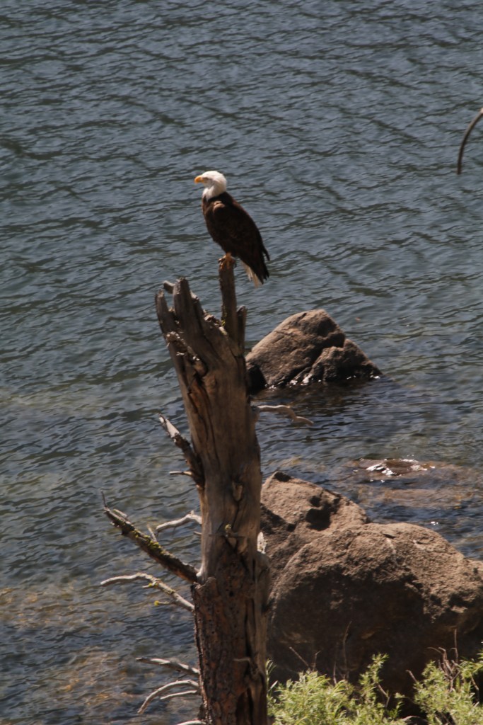

Along the way, we saw an Eagle standing on a dead snag. He looked right at us, acknowledging our presence before scanning the lake for fish.
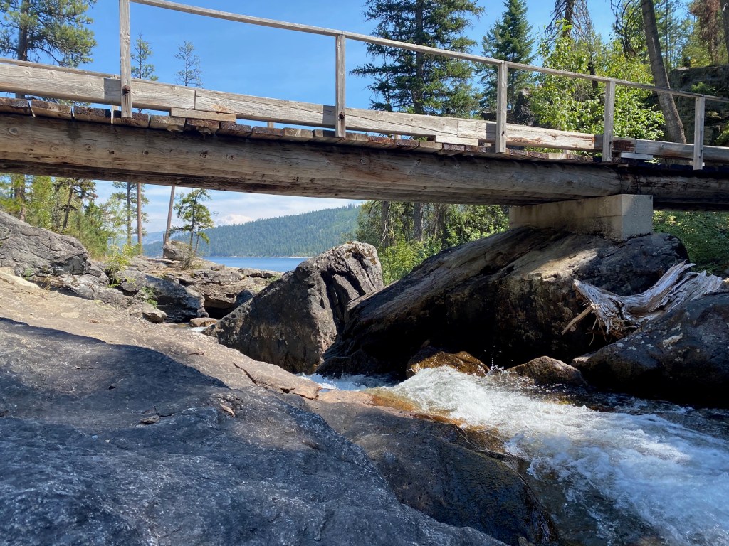

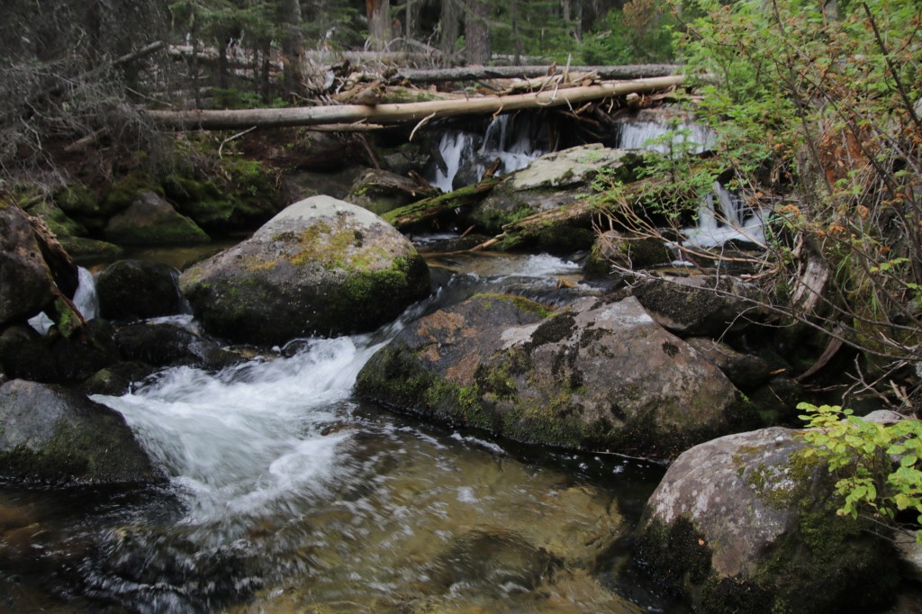
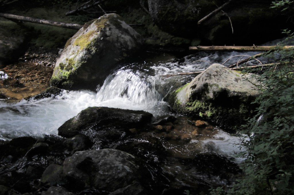
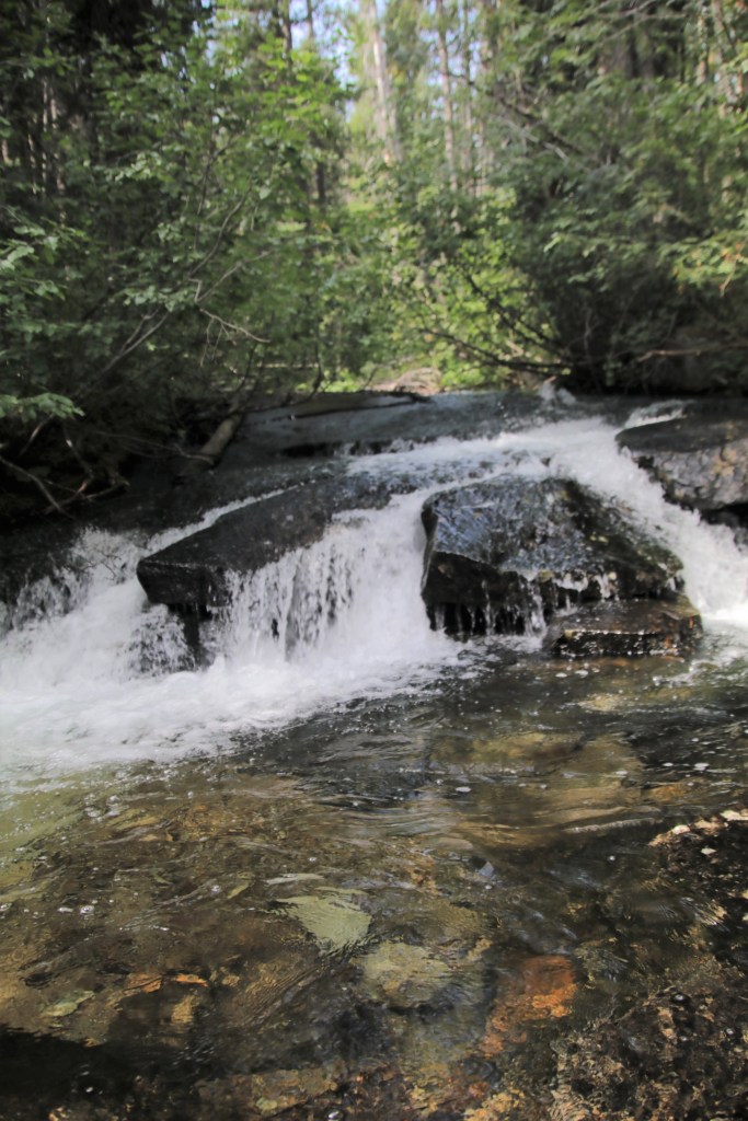
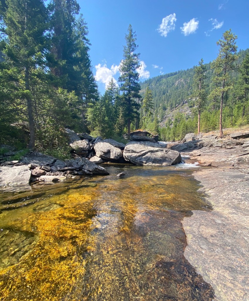
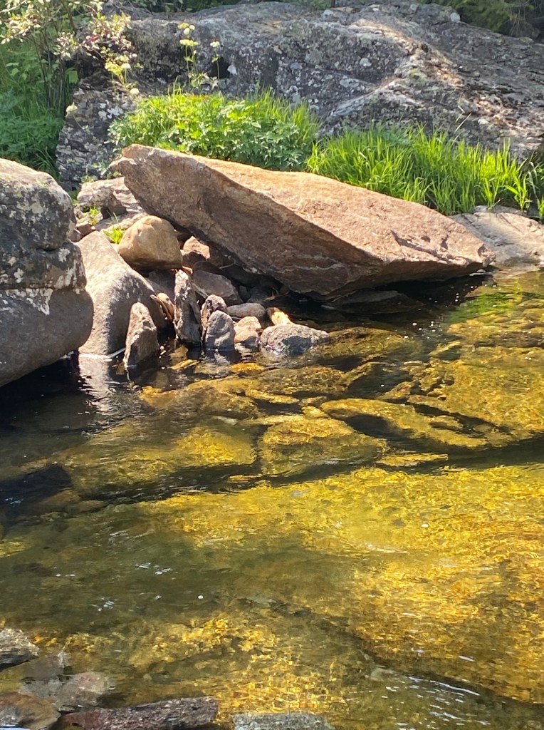
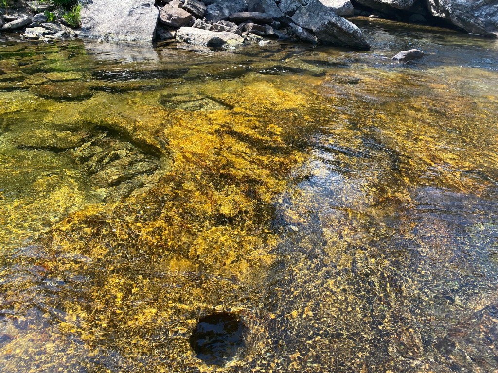
Our lunch spot was below the bridge, next to ripples and small cascades.To see the waterfall, cross the bridge and go up the trail. At the top, look for a narrow path on the right. This takes you to an overlook where you can see the entire falls.

Go back down to the bridge and cross it. Start back on the trail, but keep looking for another narrow but poorly defined trail on the left. It would be worth the time to carry flagging tape to mark your way up (and remove on the way down). Go uphill to another ridge that takes you to a magic place above the waterfall.

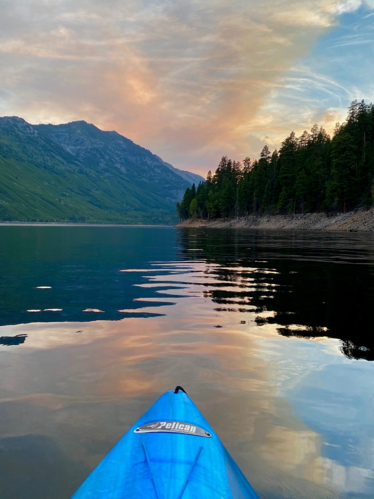
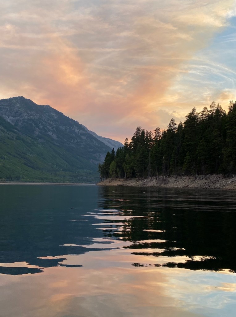
Lake Como Sunset Kayak
There is nothing more amazing than summer in Montana. On the equinox the sun doesn’t set until after 10:30 P.M. We took advantage of the longer days with a 3 mile after dinner paddle on Lake Como. To circle the lake, it must be about 7 miles.