Ghost Towns of Montana

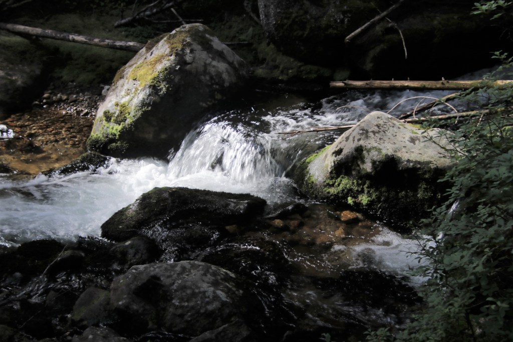
Even on this bright sunny day I can feel the dead watching as I walk down the street. The intuition isn’t sinister, although dead criminals from the past did harm others. No one wanted to guard those in jail. There was too much gold to find. Therefore, hangings were swift.

What gives me goosebumps today are emotions saturating the breeze. Regret. Fortunes found and then drained at the saloons or spent on Hurdy Gurdy Girls in the dance halls. Prostitution was rampant and in my mind I hear laughter and the blue haze of burning hand-rolled cigarettes.

Few women were respectable although shining stars graced the gritty environment. Mary Babcock Moore was the first women to practice medicine in Bannock, Montana. Sarah Bickford had been born a slave in 1852. After the civil war and against all odds Mrs. Bickford married a white man before the new state of Montana forbade such a thing. Even more unusual, she became a very successful business woman after her husband’s death.

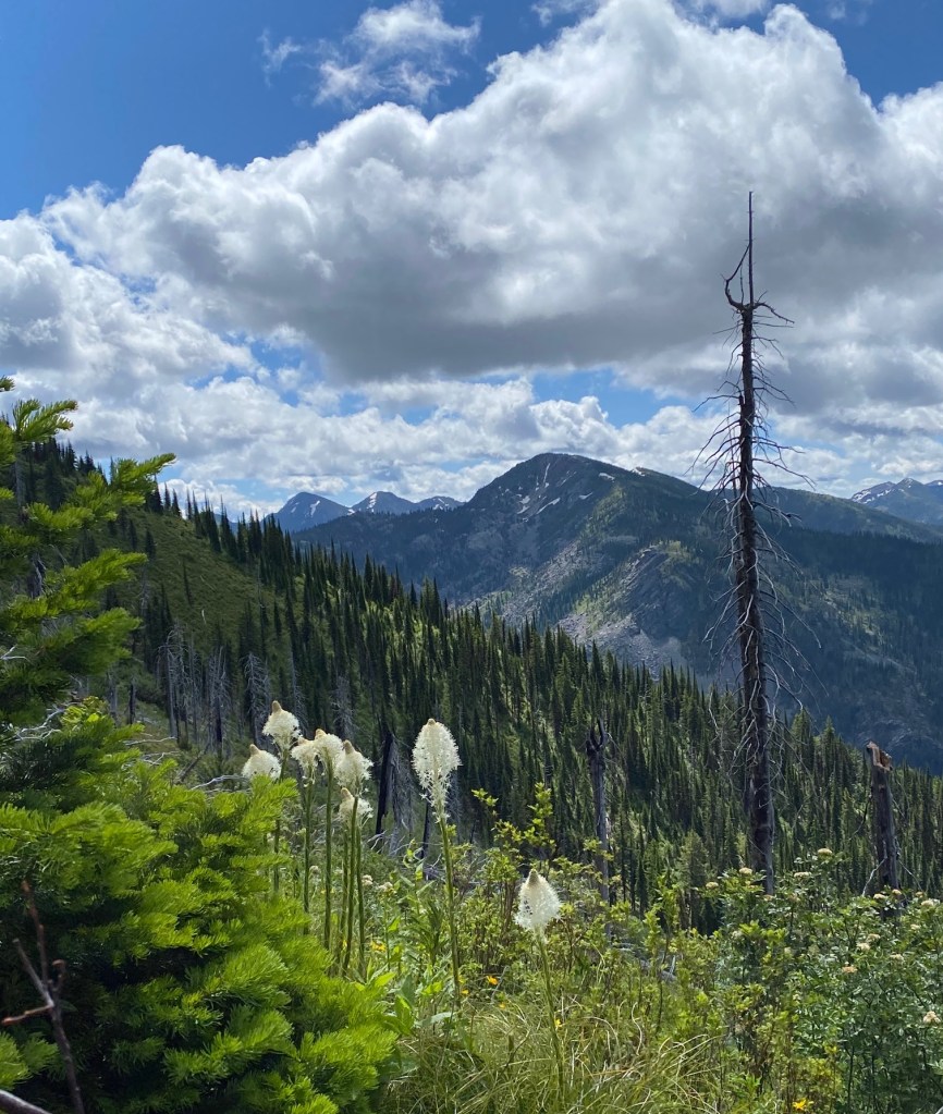
It takes a short walk to the cemetery. There are so many dead children. Diphtheria. Measles. Flu. Whooping Cough and Scarlet Fever. Mourning and hardship left a smothering ghostly atmosphere in the early territorial towns of Virginia City, Bannack and Granite.

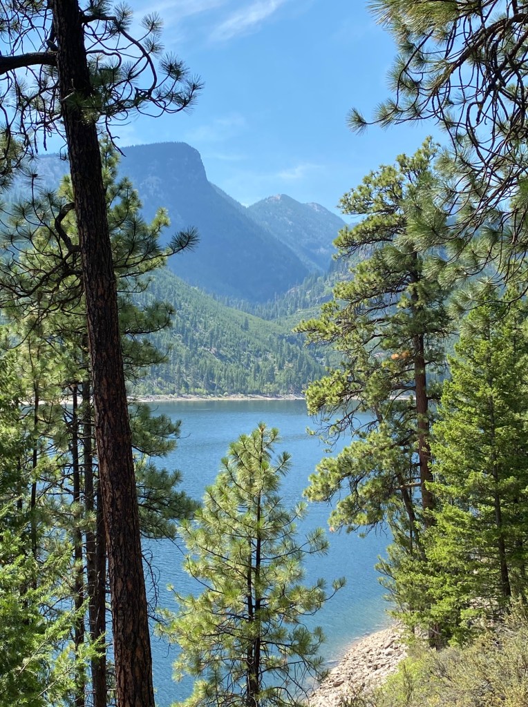
Virginia City –the second territorial capital of Montana

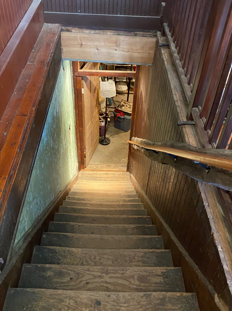
There’s the ghost of a six-year-old girl in the building that was once the Metropolitan Meat Market on Wallace Street. She can be heard laughing from the elaborate mirrored meat cooler where she played on hot summer days. I felt her when I descended the steep stairs into the basement. It wasn’t just the cool breeze rushing up at me but the air pressure changed. Closing my eyes, I felt her broken heart at the loss of her mother. Today, her spirit still resonates with women. Her grandfather tried raising her until disease snatched her away.

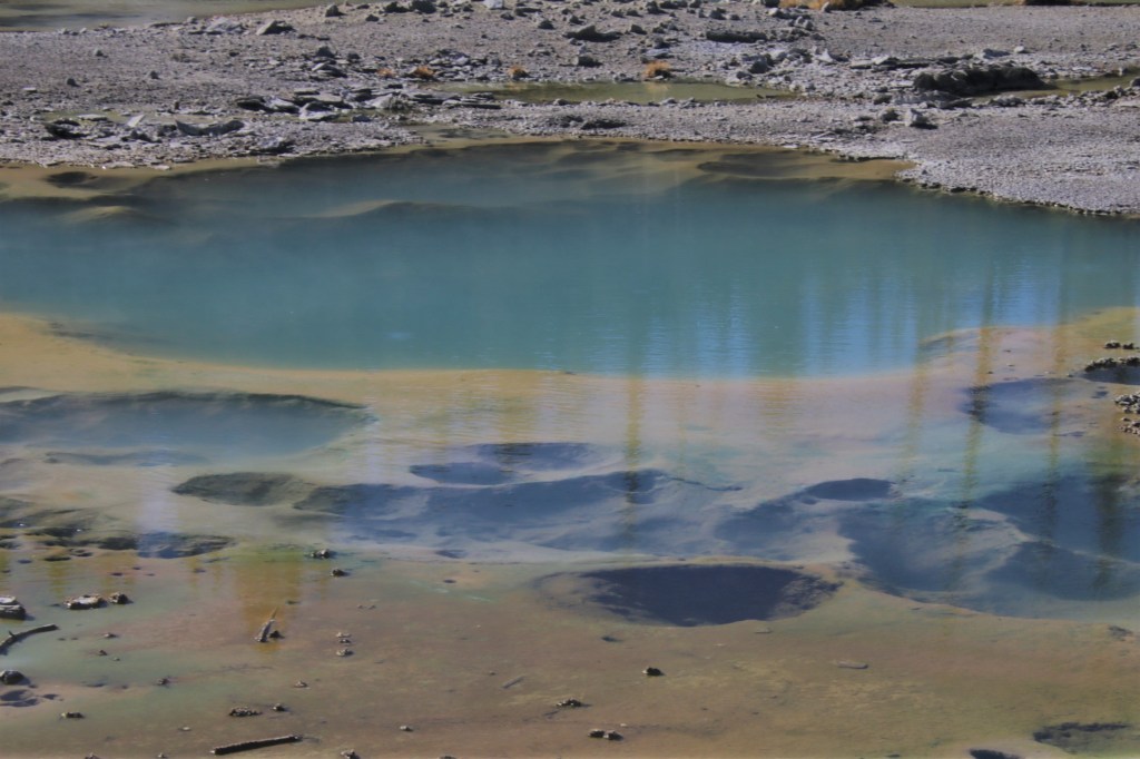
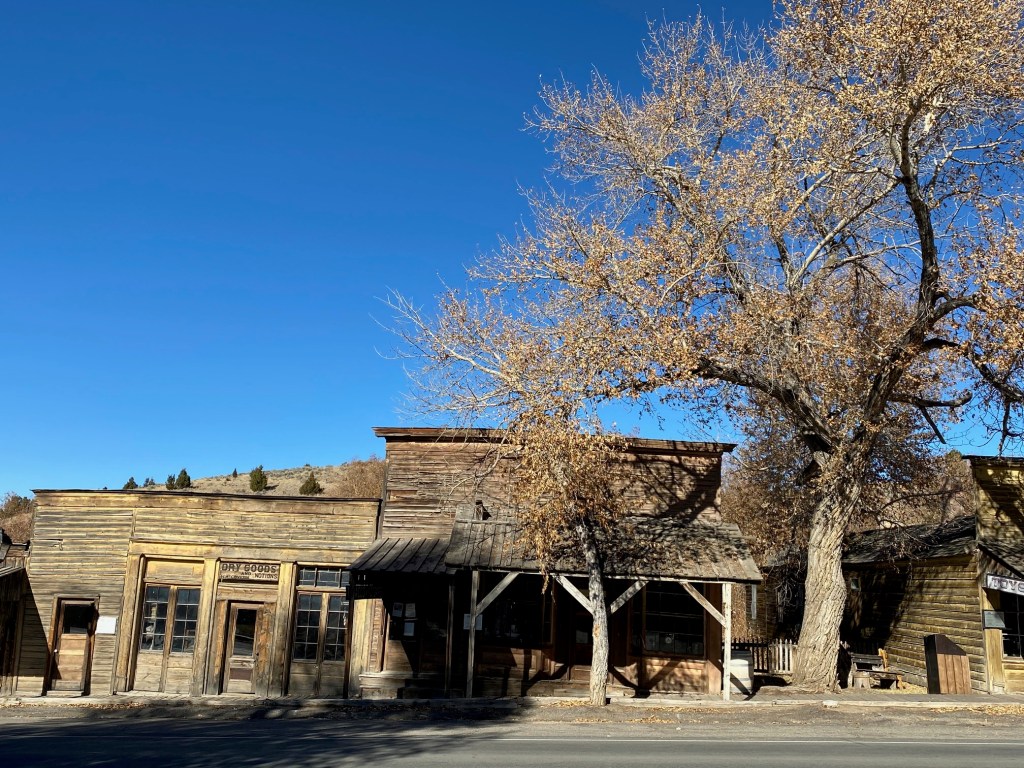
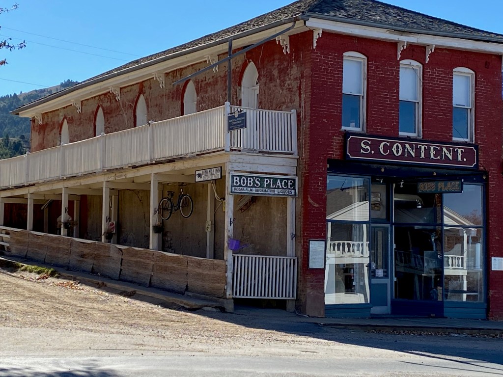
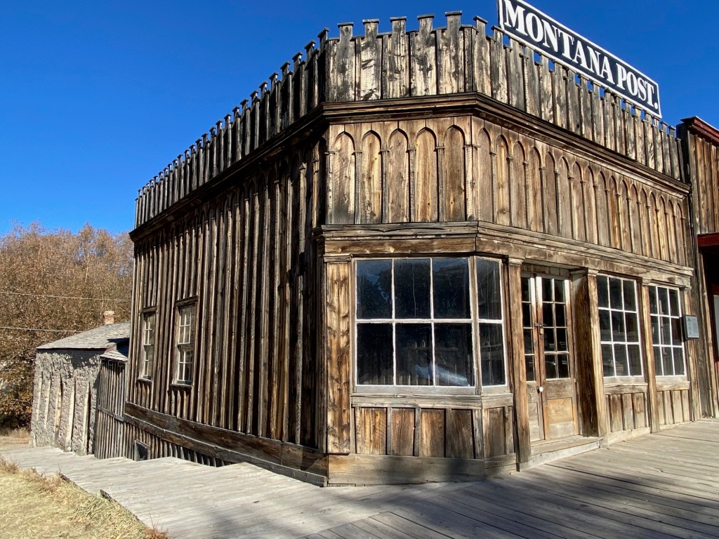
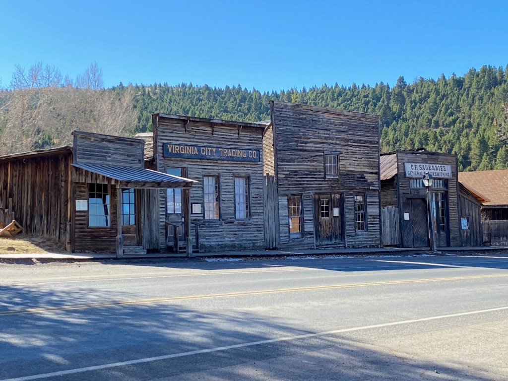
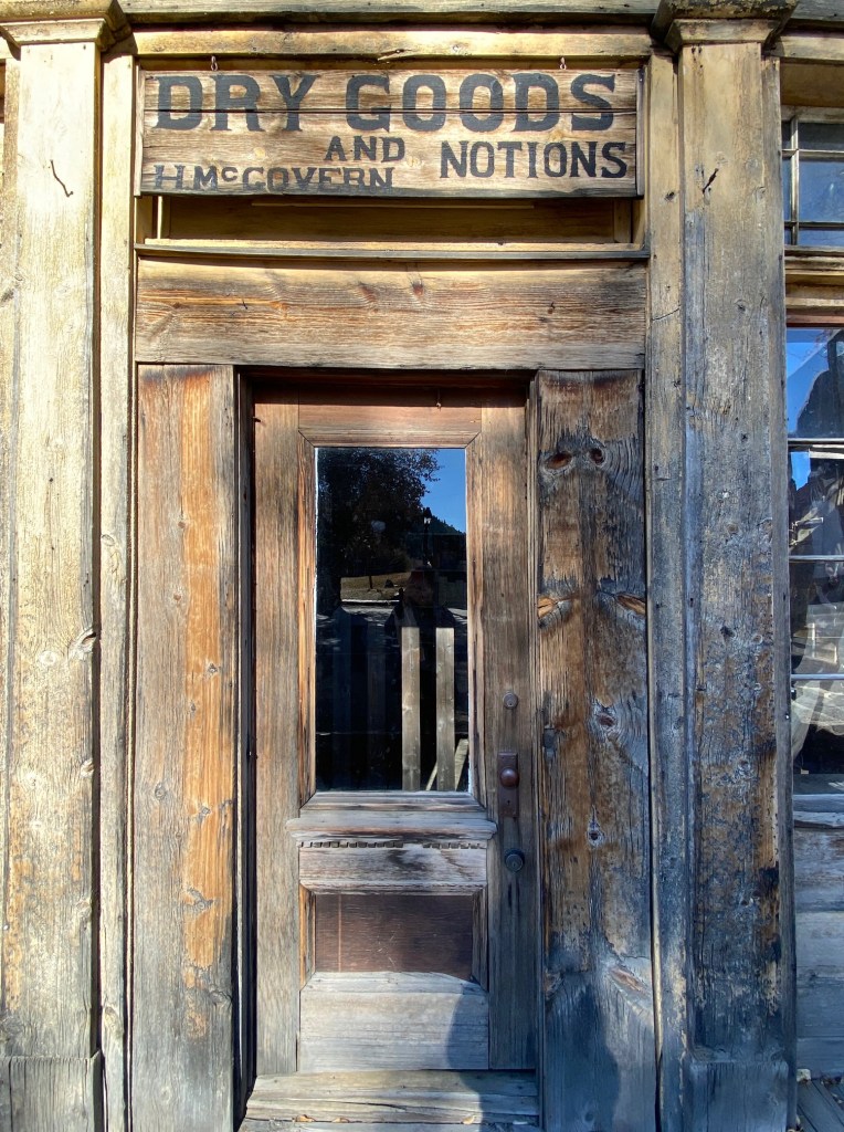
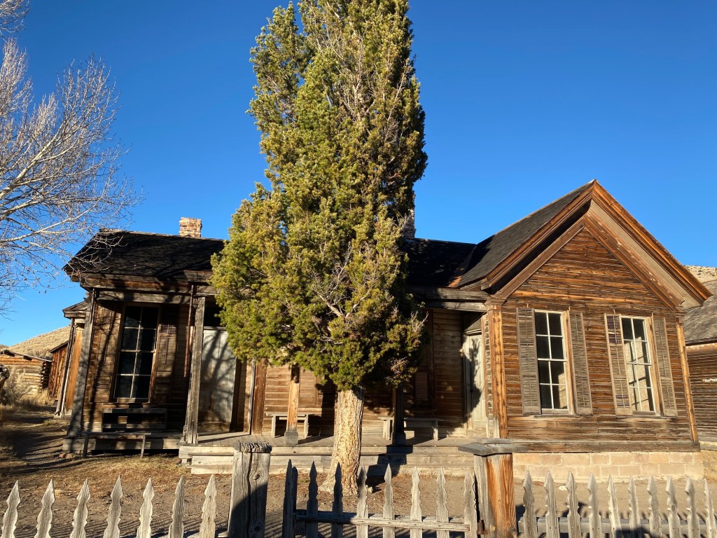
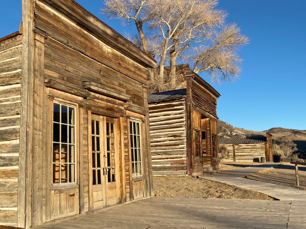
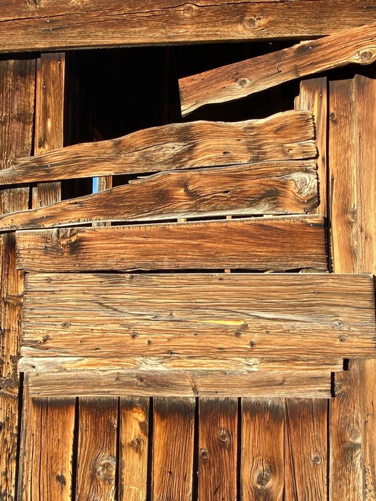
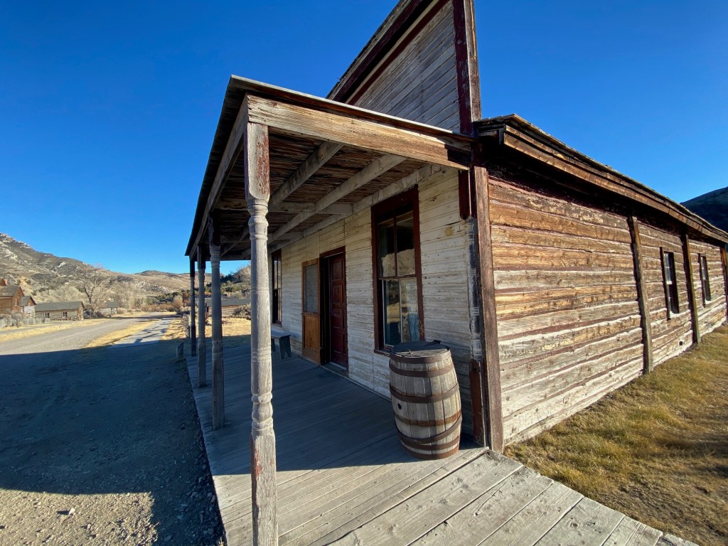
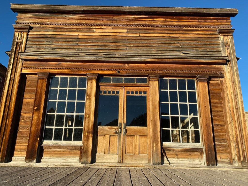
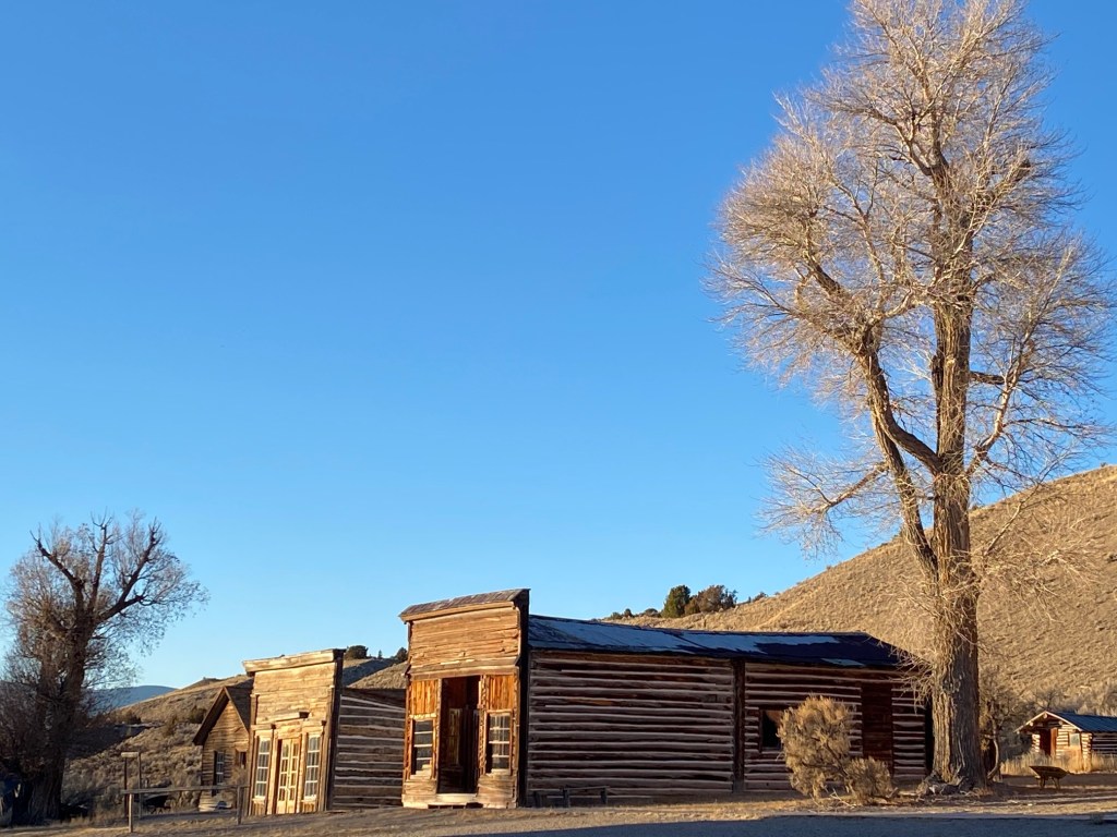
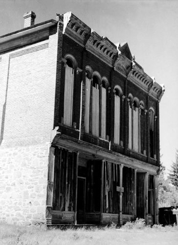
Technically, Virginia City isn’t a typical ghost town and it’s considered to be one of the best preserved sites with a blend of flourishing independent businesses. This was due to the preservation efforts of Charles and Sue Bovey from 1940 through the 1970’s. With over 200 preserved buildings, Virginia City was designated a National Historic Landmark in 1961. It’s a special treat to experience the town and the unique artists and shopkeepers.

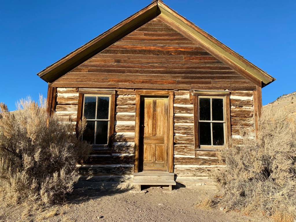
Bannack –Montana’s short-lived first territorial capital

Bannack began in 1862 when John White discovered gold in the creek. The town was named for the Bannock Indians, but when the name was summitted to Washington D.C., someone mistakenly dropped the “o” and put in an “a”.

By 1863, life in Bannack was down and dirty. Road agents stole and the sheriff was said to be the ring leader. The gallows trapdoor swung open when vigilantes executed over 20 members of the robber gang in one month. Montana highway police and the national guard sport a patch with the numbers 3-7-77. This warning was painted onto cabins or tents of the next vigilante murder victim. The numbers are the dimensions of a grave: 3 feet by seven feet by 77 inches. In the past, people were proud of those who took the matter to hand. But history casts doubt over some of their choices. Especially for a Chinese man who never received a trail.

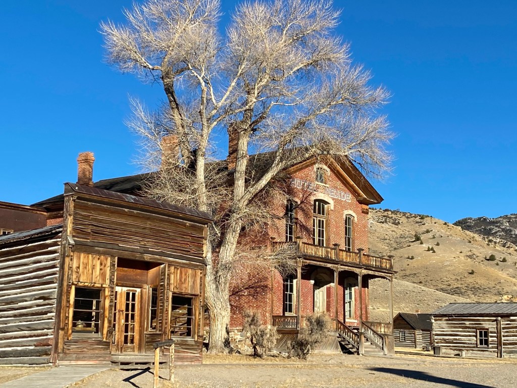
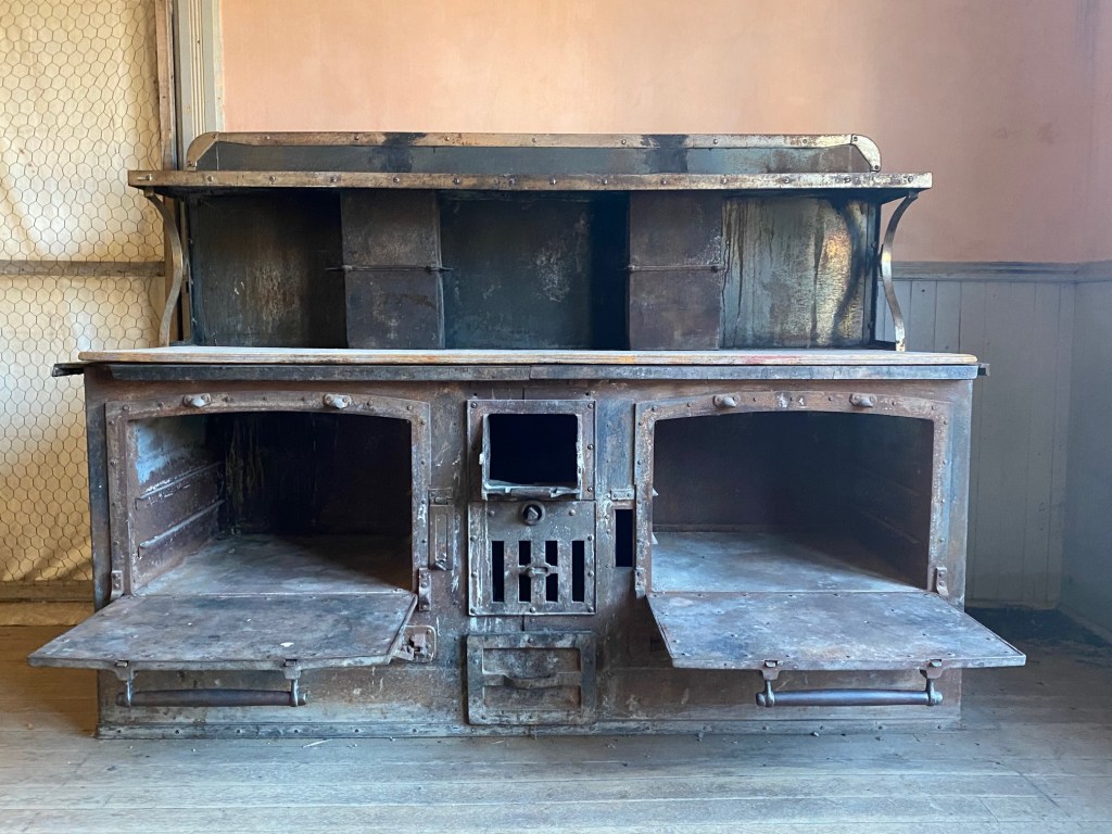
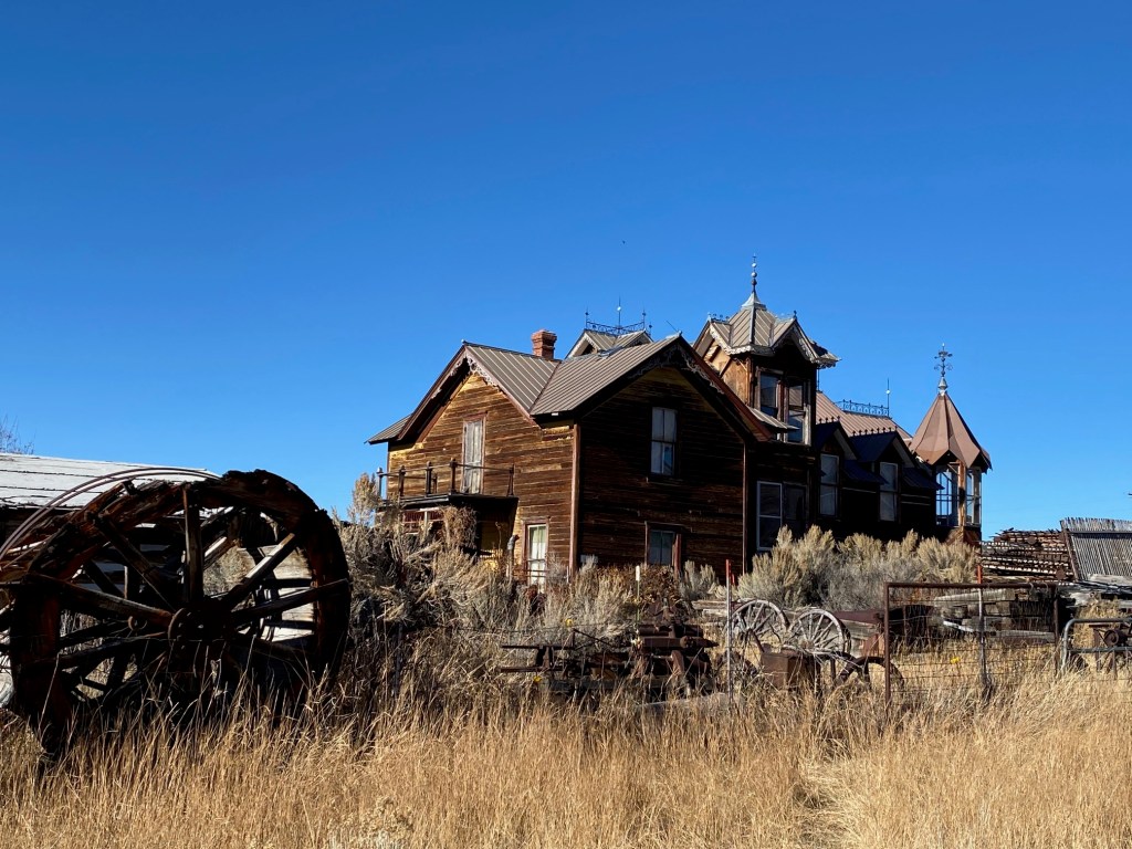
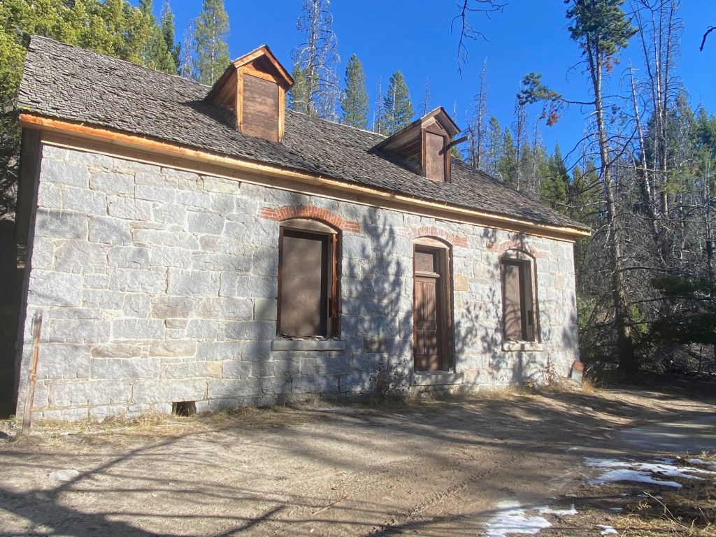
Hotel Meade operated from 1891 until the 1940’s. This was a 5 star establishment with linen table cloths and crystal goblets in the dining room. There are well-appointed rooms (including suites) on the second floor. Standing at the bottom of the sweeping staircase, I could easily imagine men dressed in suits and women in long sweeping skirts. In the large kitchen the wood-fired oven doors remain open. It’s an invitation from the ghosts to get cooking.

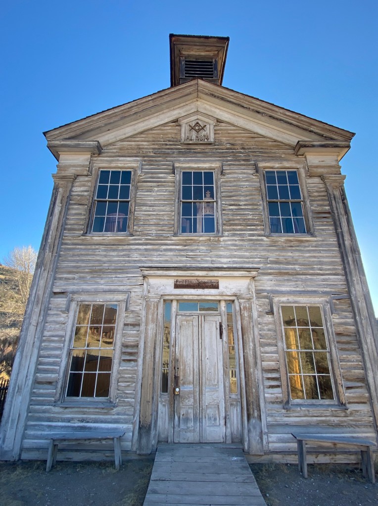
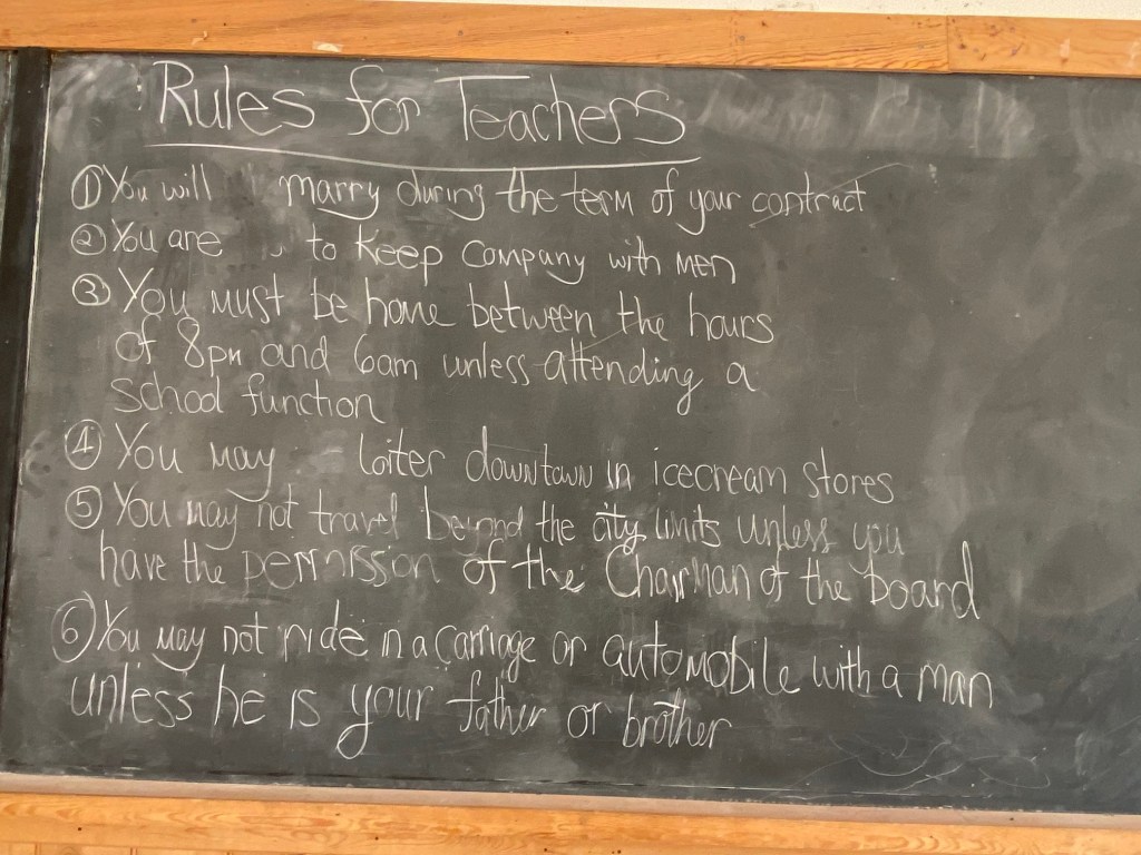
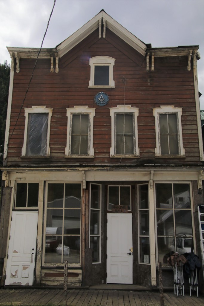
The Masonic Lodge is another exceptional building. The school was downstairs. I loved the “rules for teachers” printed on the board. Especially “You will marry during the course of your contract.” Wonder if any ladies turned a blind eye to that one? The upstairs lodge was not open. My guess is the condition of the building might have dictated it’s closing.

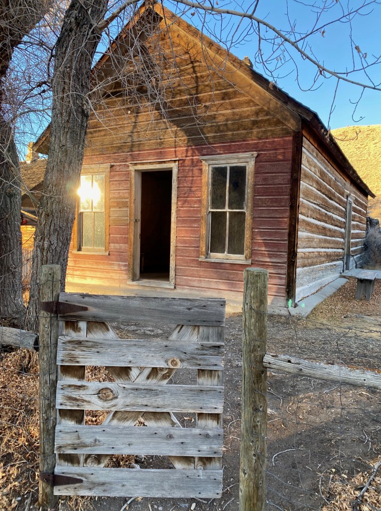
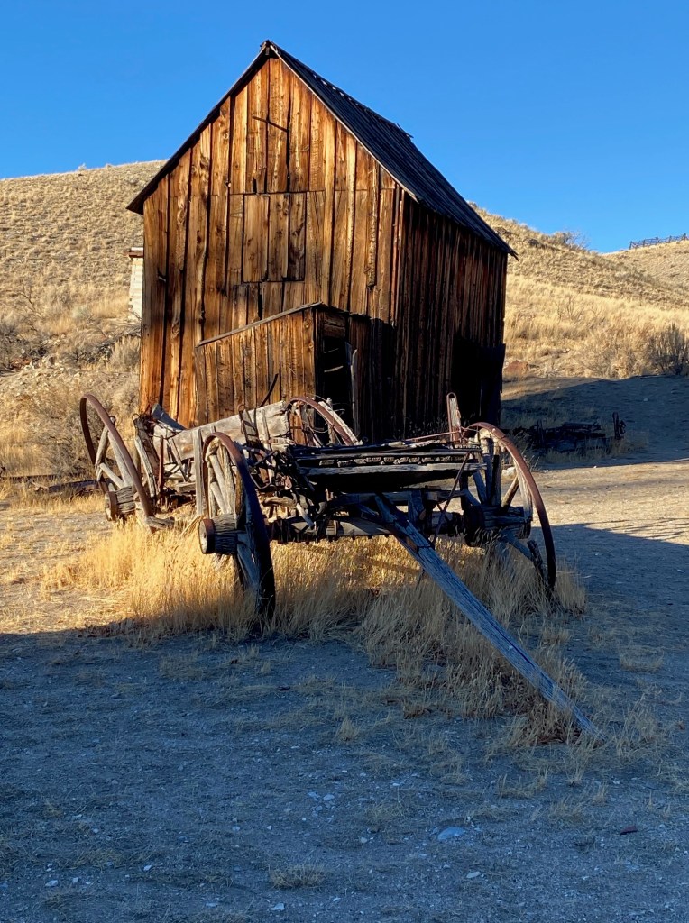
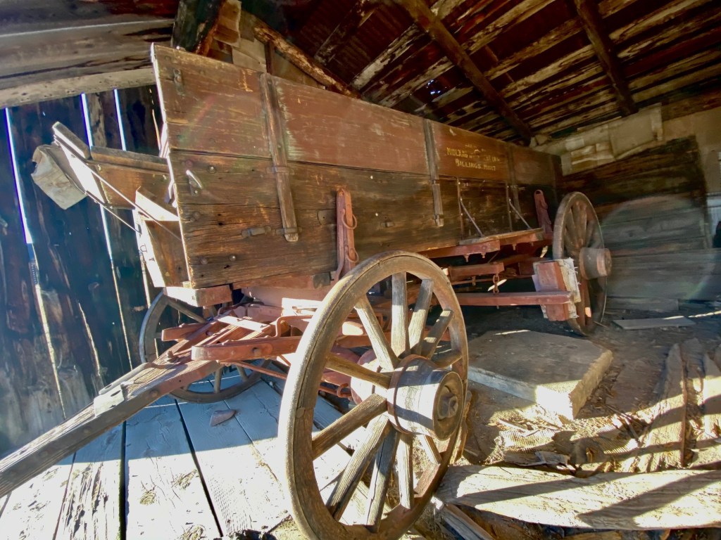
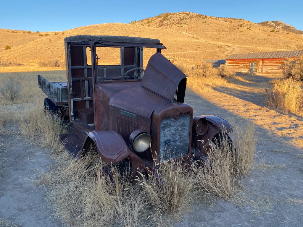
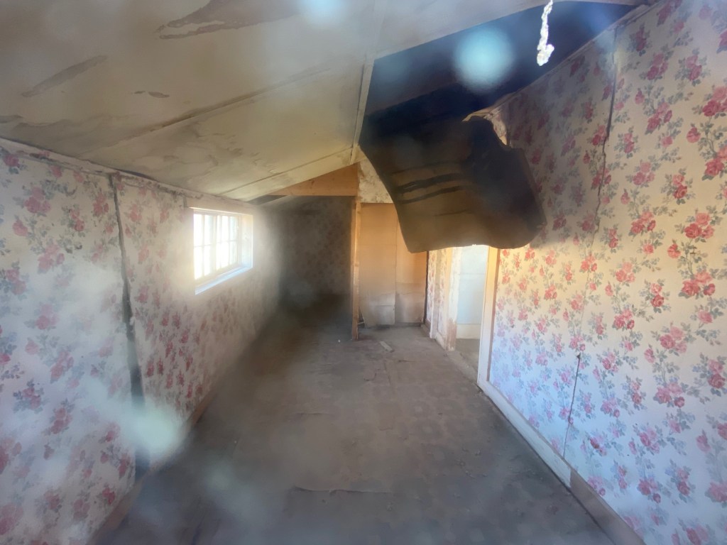
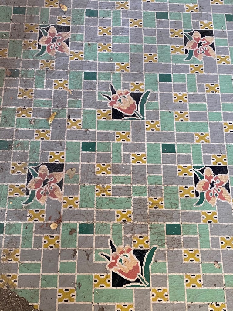
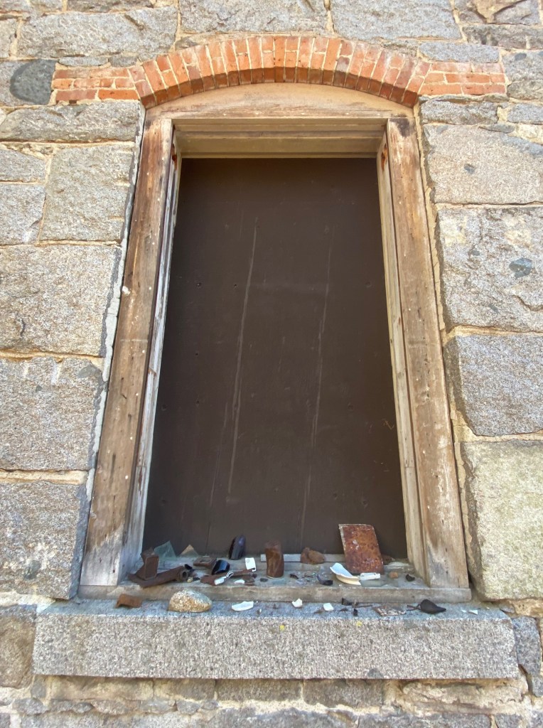
At one time, over 10,000 people lived here. Examples of dwellings at Bannack range from bare-bones bachelor quarters to wealthy merchant, William Roe’s frame home. Many of the houses still have decorative linoleum on the floor and shredded wallpaper on the walls.

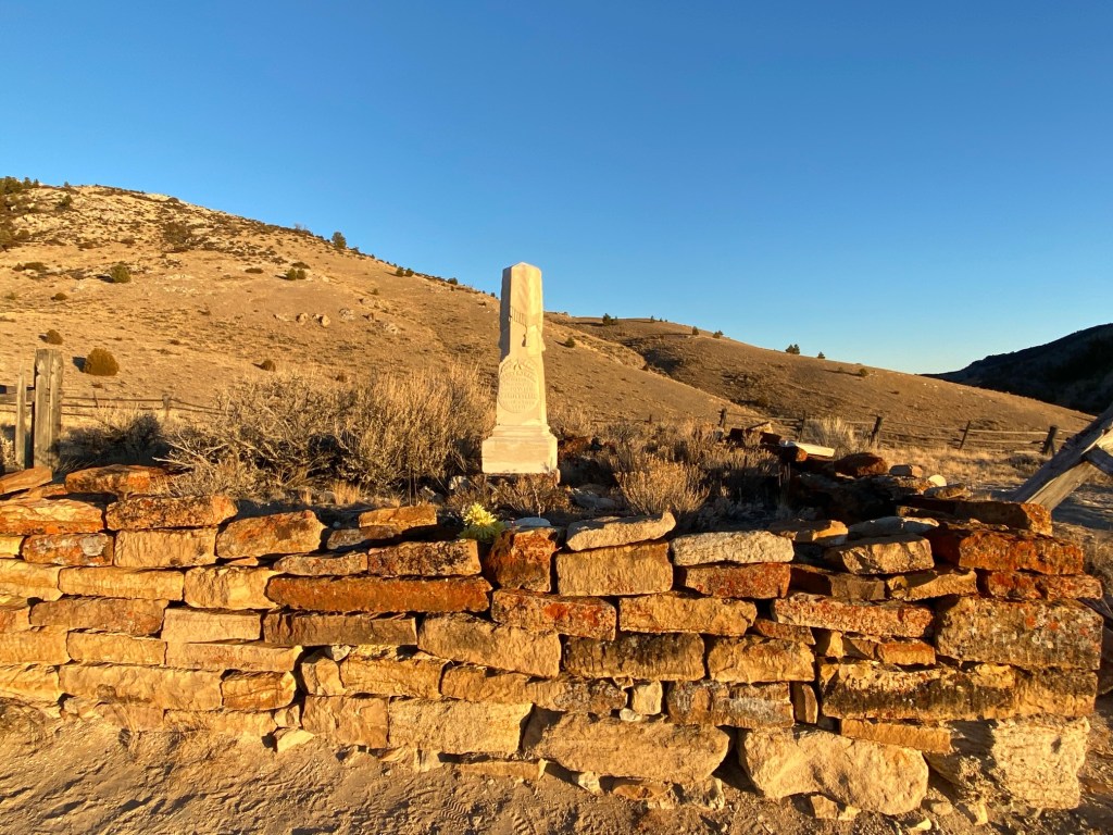
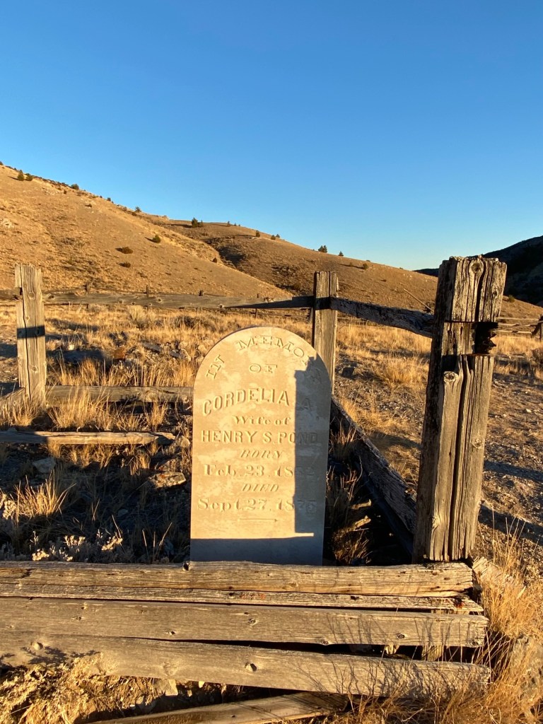
Climb the hill behind town to the hilltop cemetery and the gallows. There’s equality in death. The good, bad and the ugly all buried side-by-side. There’s a second cemetery with more intact grave markers when you exit the park towards the highway.

The silver-lining of visiting during Covid is we crossed paths with only 3 other people throughout our visit. Truly a remarkable experience.

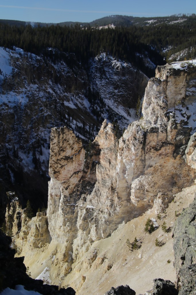
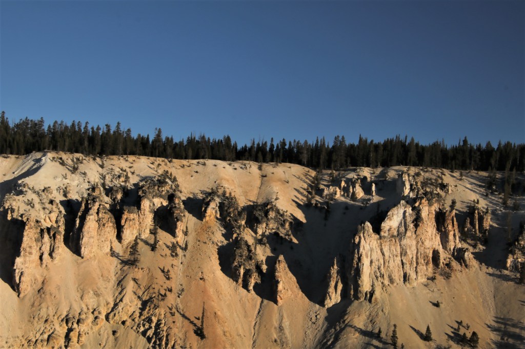
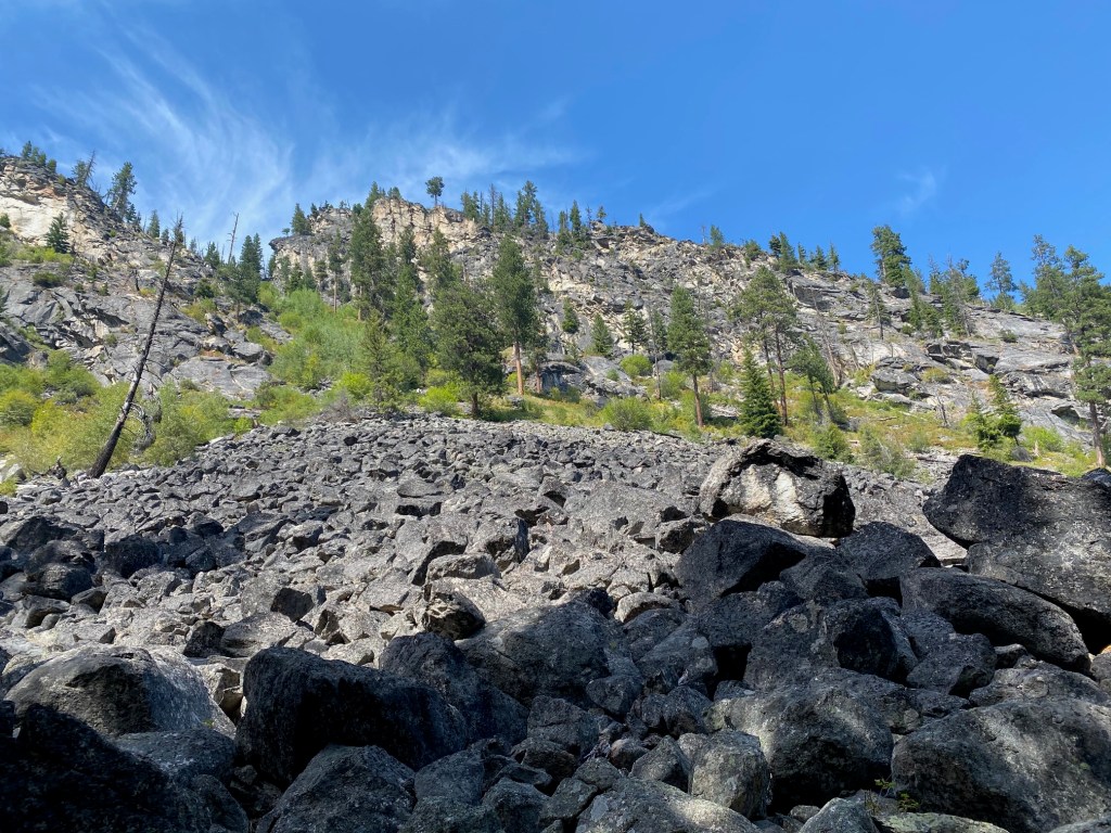
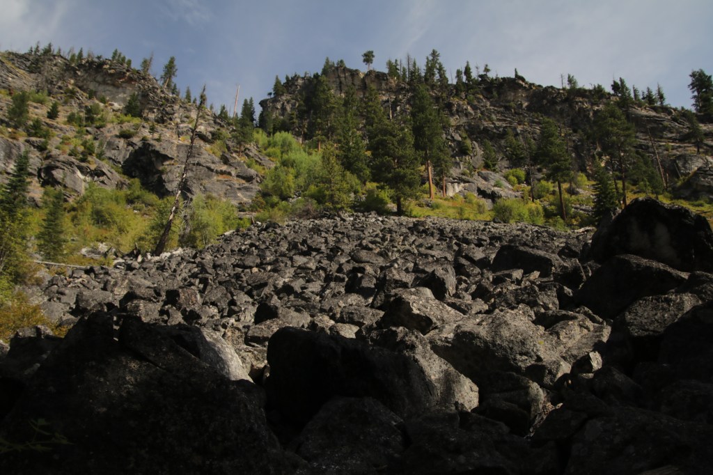
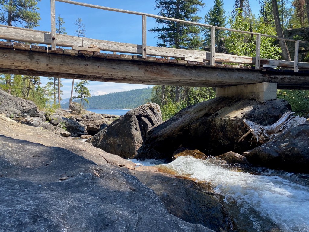
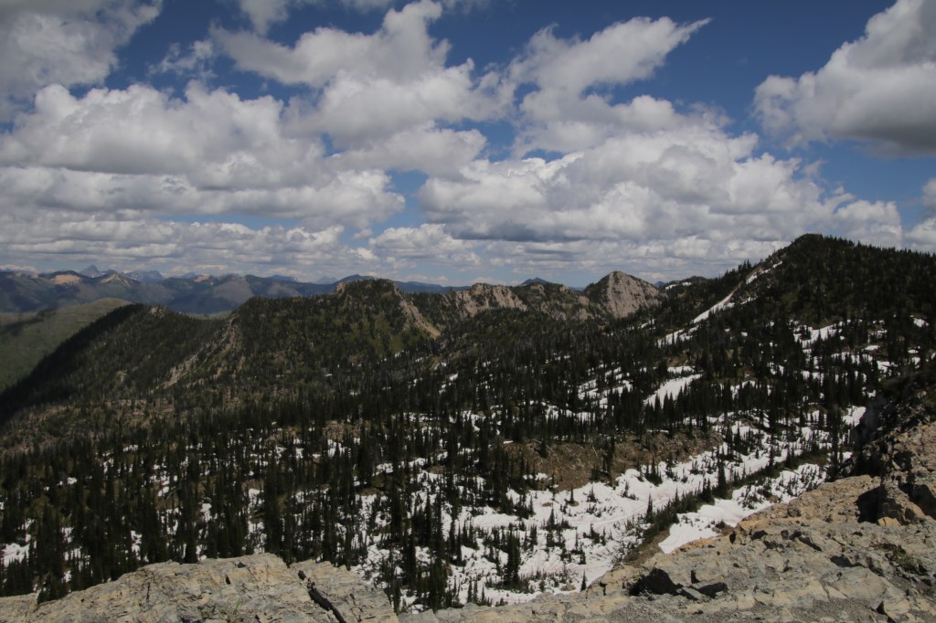
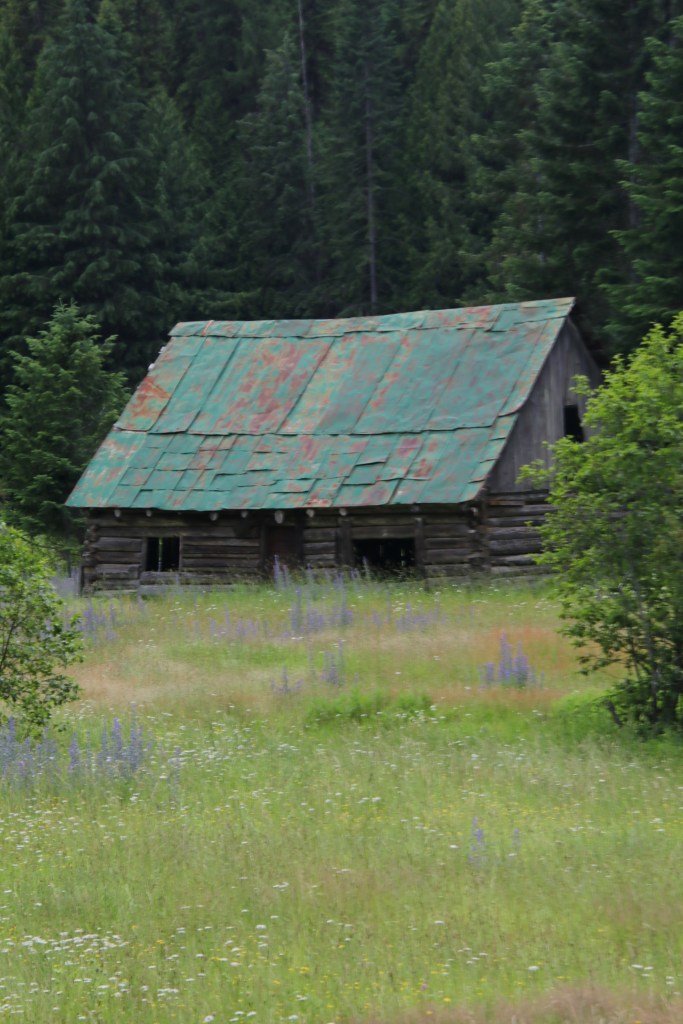
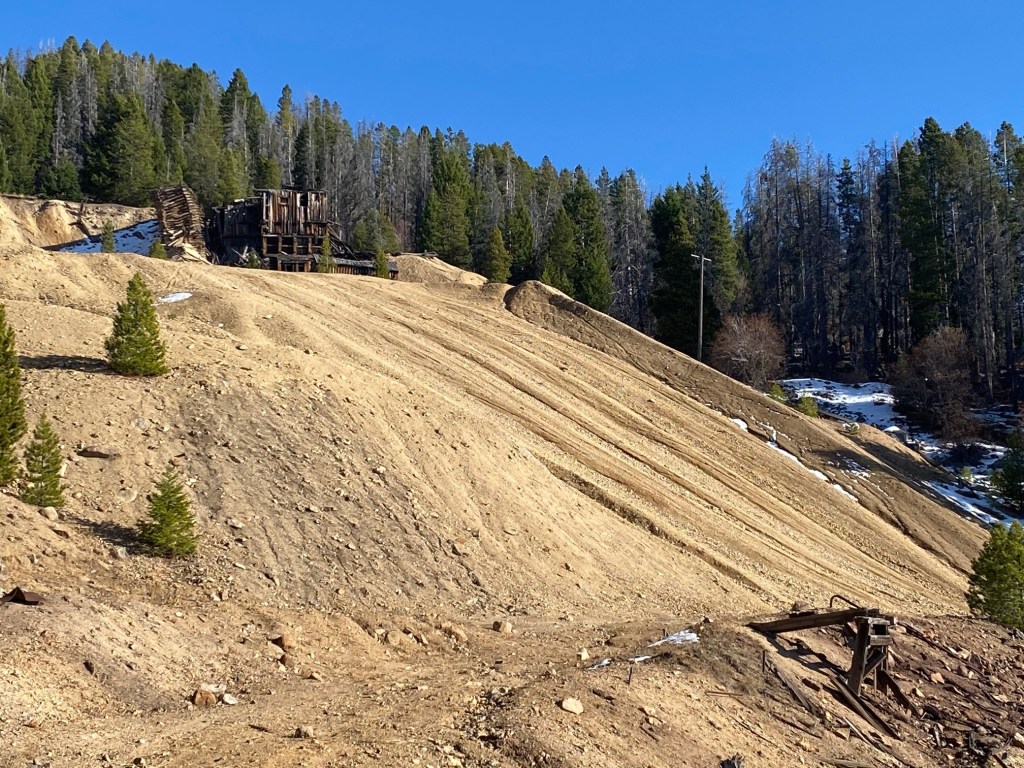
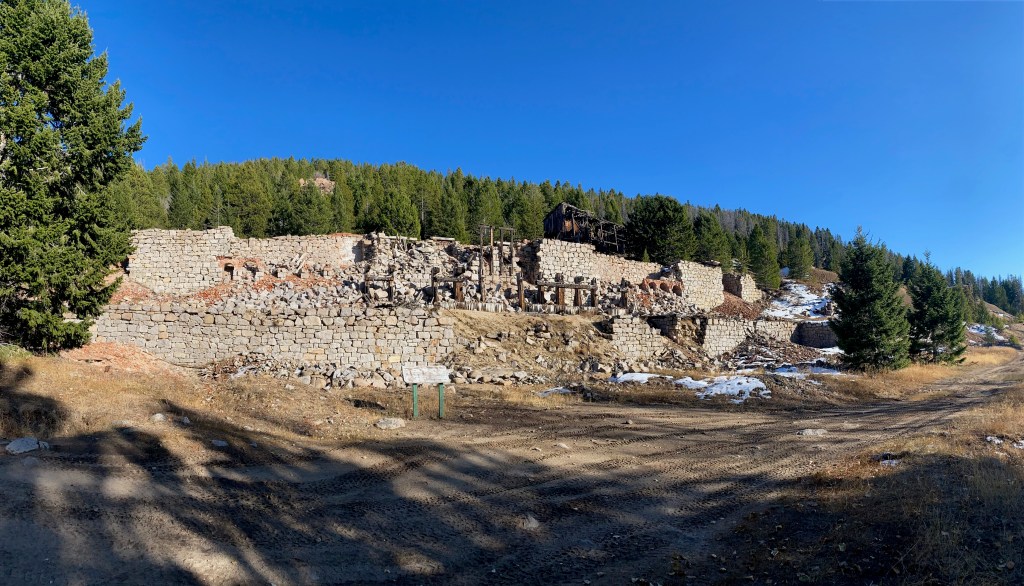
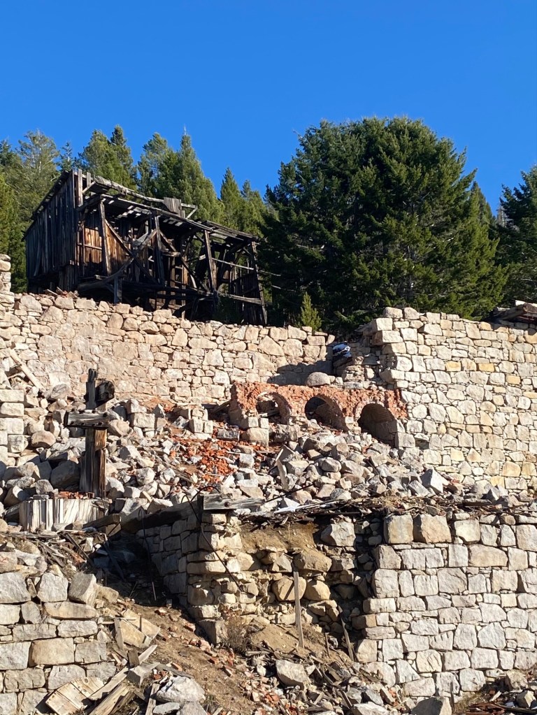
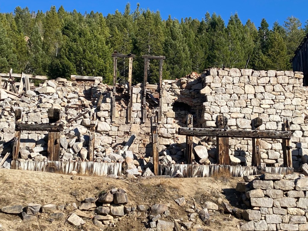
Granite Ghost Town–the silver queen

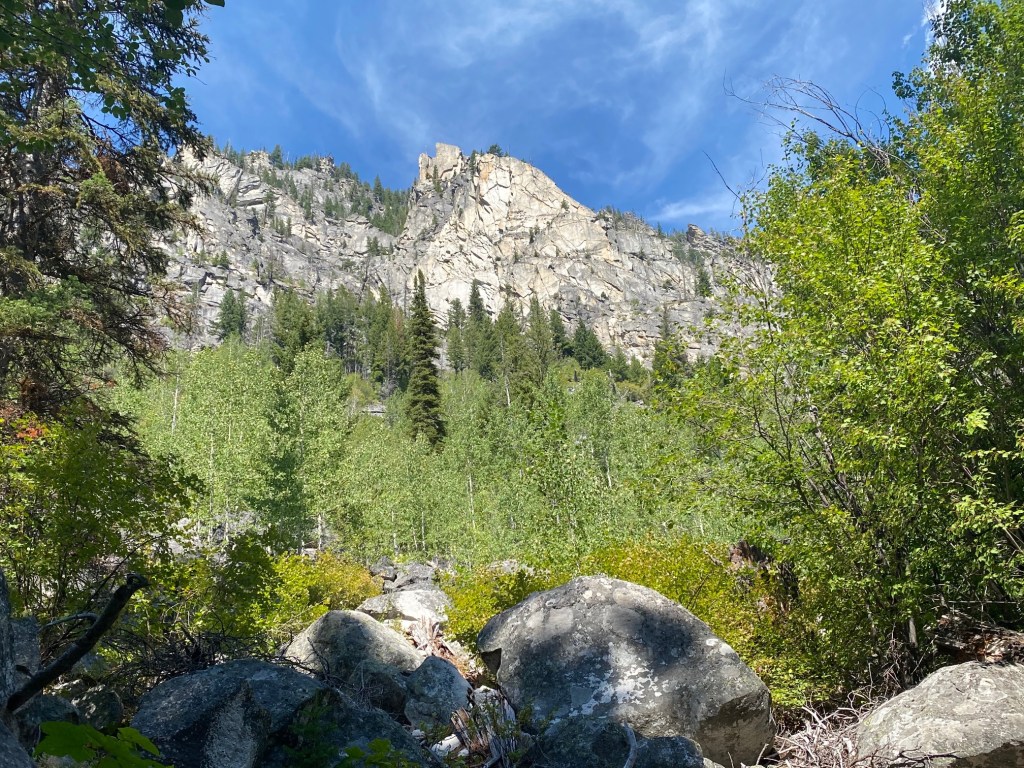
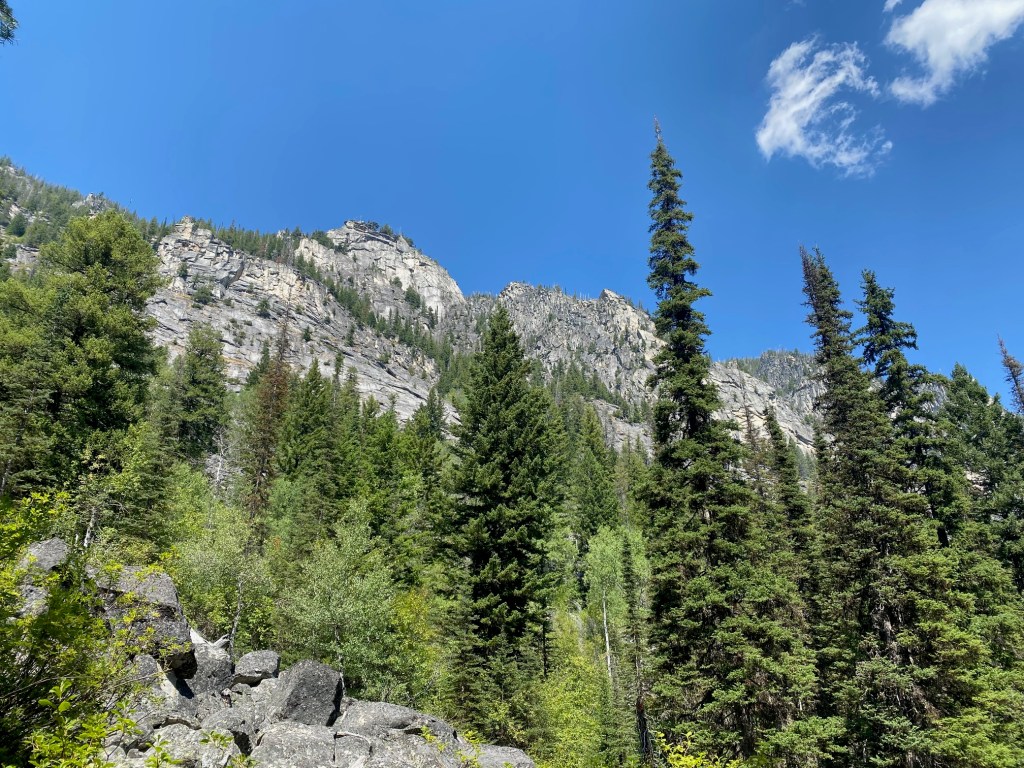
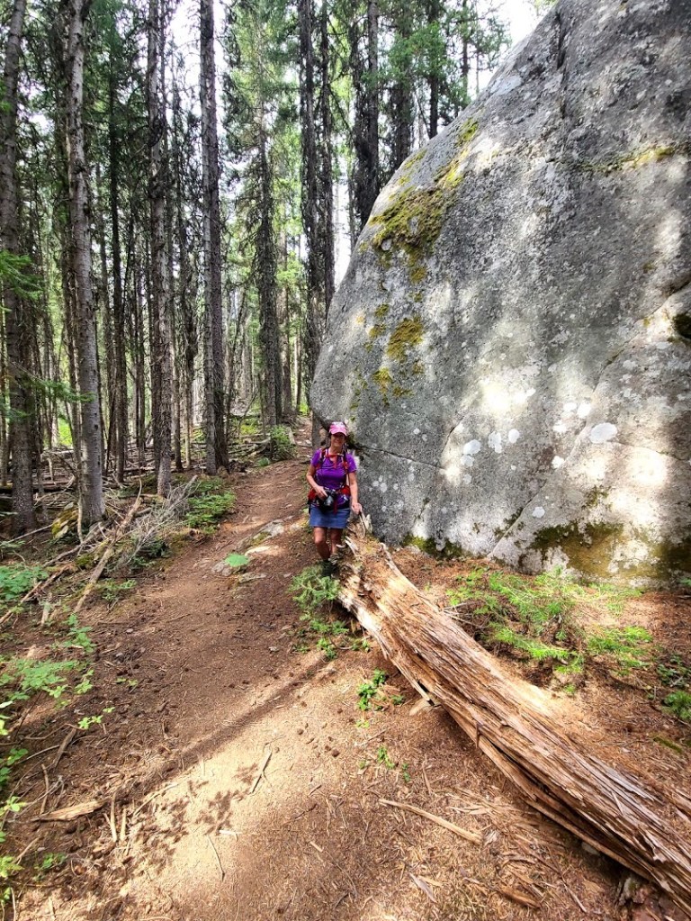
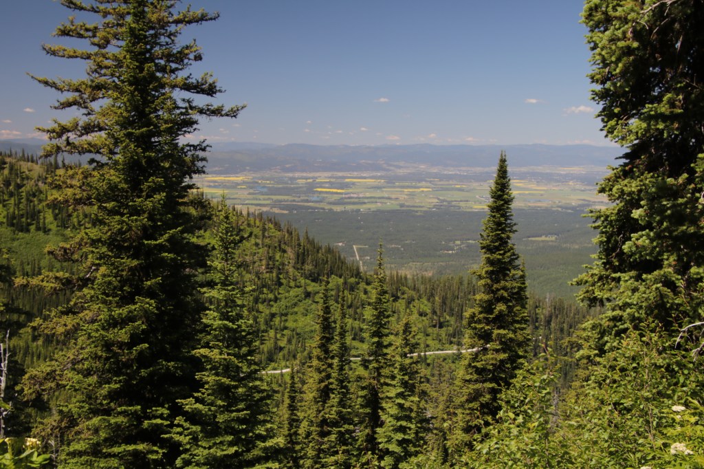
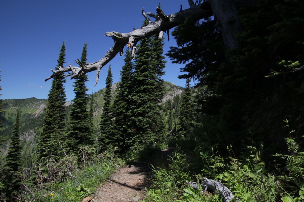
Granite Ghost Town State Park is three miles (uphill) from Phillipsburg Montana. To visit, it takes courage to gain 1,280′ on the narrow dirt road. A high clearance vehicle is prudent. I’m glad we explored here during Covid because if two cars meet, it requires someone backing up around hairpin turns with steep drop-offs. Getting there was only half the fun.

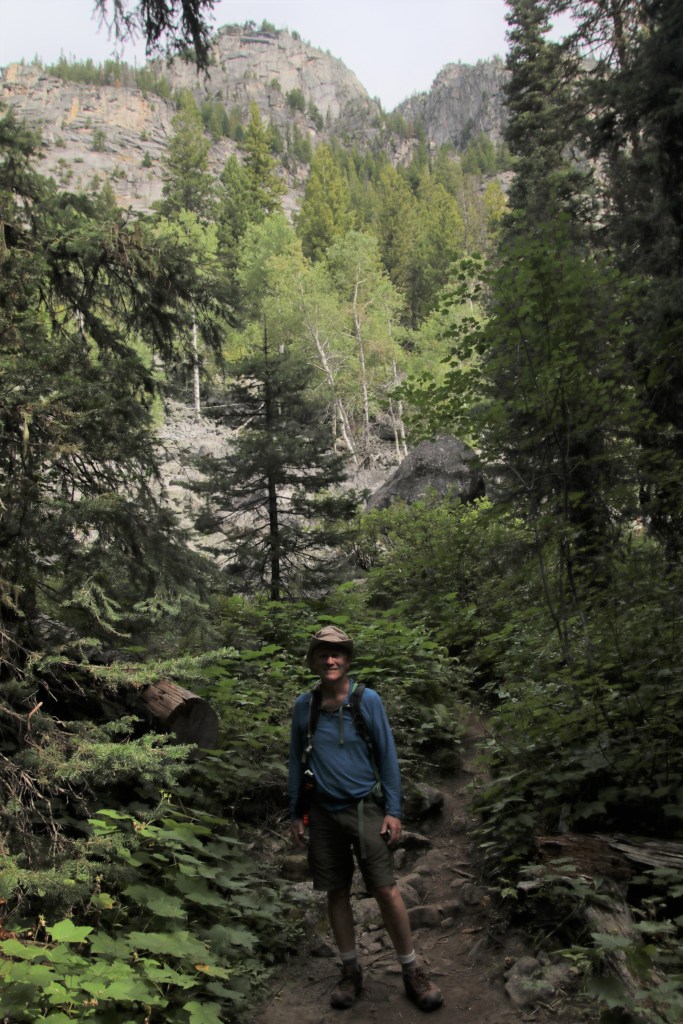
This is the most rustic and remote of the ghost towns we visited on this trip. That means no services and no cell phone reception. Heed my warning to bring food, water, toilet paper and a good sense of direction.

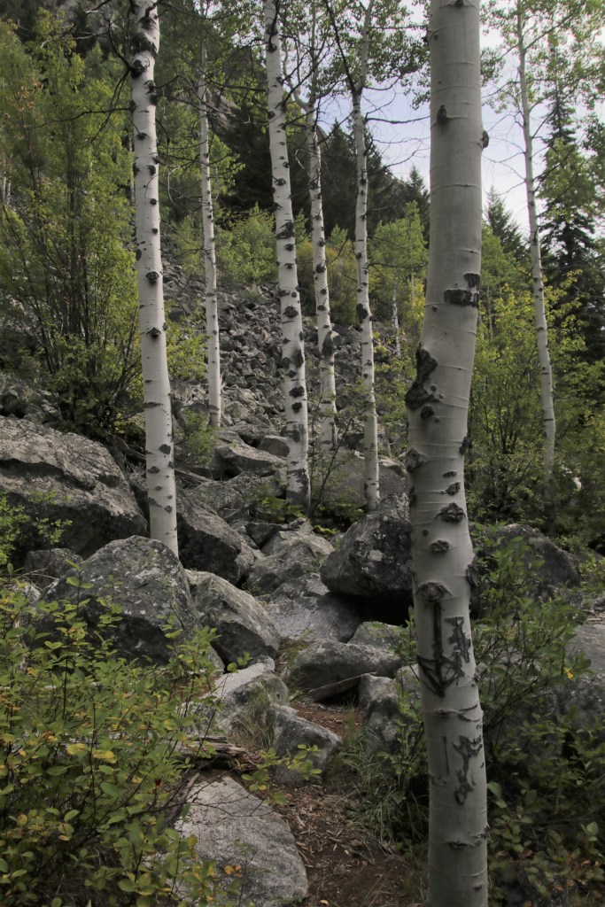
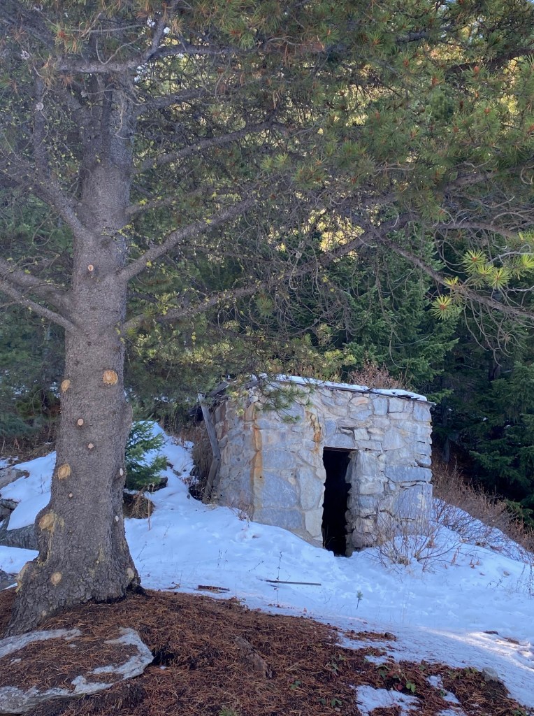
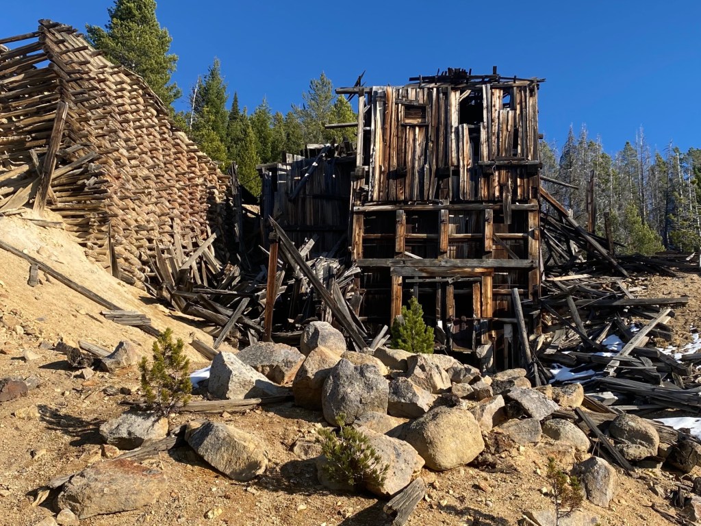
Nature has reclaimed the site with towering trees and shrubs. At first, it doesn’t seem there’s much here. We decided to just walk down twisty old dirt tracks to see what we could find. 3,000 people used to live here. We were confident we’d find something.

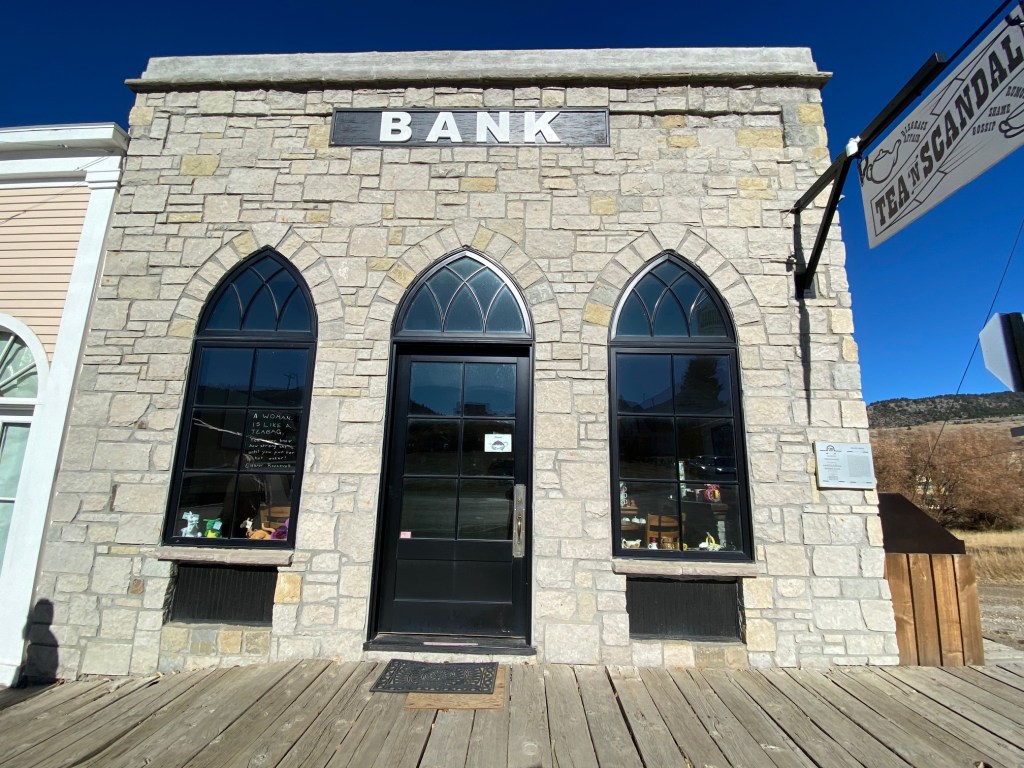
First stop was the bank.

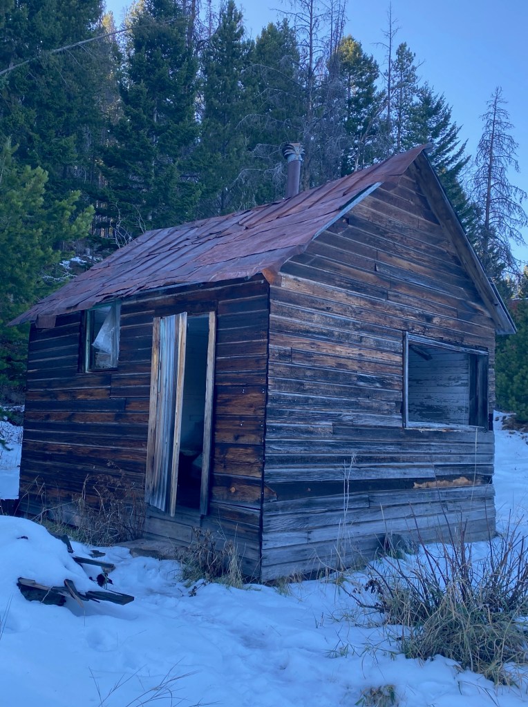
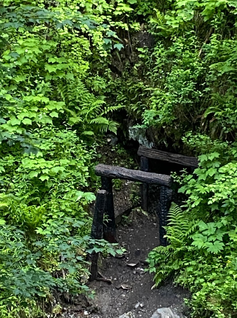
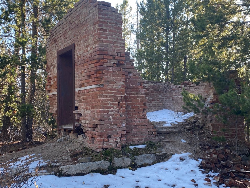
And then the roofless miner’s union hall and a small miners cabin before we came to a dead end. Down in a hollow below us, we could see collapsed buildings sticking out of the snow. I’ve since learned this was the Chinese part of town with the red light district behind.

We backtracked and walked uphill on a muddy narrow road. Bob said, “There’s a building to the right.” That’s how we found the mining superintendent’s house.

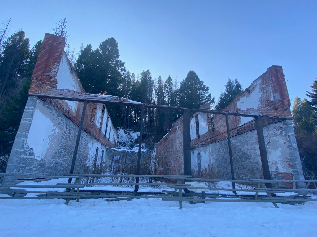
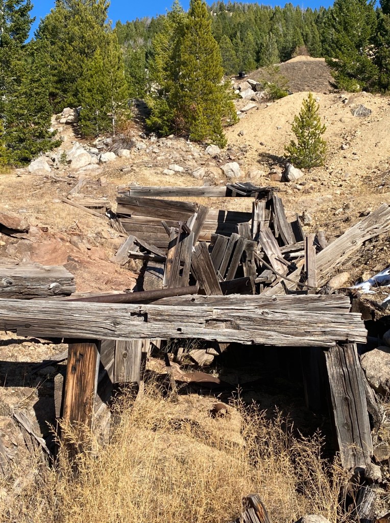
Down below was the hospital in ruins. Walking straight we ran into an old mill, remains of smelting and the Granite mine. Look left and uphill. The Ruby mine shaft is at the very top.

What a treasure to experience this by ourselves. Every corner or twist of road produced something else to see.

Further research showed two interesting details. There wasn’t any water here. It had to be brought in from the valley below. Something tells me that the 18 saloons sold liquid of another kind. Oddly, there’s no cemetery here either. Too much rock. People who died were brought down to Phillipsburg for internment.

When I go back, I’ll stop in Phillipsburg first. I just learned there’s a map of the town at the chamber of commerce.

Alien Planet

Wyoming is chock full of diverse landscapes. Tectonic plates continue to push and pull mountains, remodeling the terrain like playdough. Earthquakes rattle and shake tons of rock into place. Geothermal pools bubble, pop, and hiss with steam.

This COVID road trip takes us into the alien landscape of Yellowstone National Park. Earth has never looked so strange and beautiful.

There’s something freaky when you think about driving into the caldera of one of the largest volcanos on earth. The magma chambers have been active in Montana for over 2 million years. What makes Yellowstone extra special is the large variety of hot pools.

Thermophiles (bacteria and algae) create brilliant colored mats. Each of those colors supports life at a specific temperature range. Blue and Aquamarine are the hottest (up to 189F).

The hottest geyser’s are in the Norris Basin where trapped steam builds pressure 1,000′ below the surface. This boiling water speeds up the chamber and erupts into the air. Temperatures there are the hottest in the park ( 459F)

check this neat video produced by Berkley University :

This primeval environment is quite toxic. Groups of bison have been found dead, indicating a quick demise downwind from gas vents that emit flammable hydrogen sulfide and carbon dioxide. Sulfuric acid burns skin and causes difficulty breathing. The animals died from a chemical asphyxiant near the Norris Geyser Basin but there’s other low lying toxic areas in the park. One remote location is called “death gulch”. Rivers and streams in the park are monitored for arsenic, lead, mercury and other heavy metals. One ranger joked that if the national park hadn’t been created, it might be a superfund site. Thankfully, most tourists experience simple water vapor and not these poisons.

Yellowstone has a diverse animal population due to the thermal environment. Buffalo wander at will. This wolf was just beyond the distance of my camera lens. We saw several fox. Trumpeter Swans flew overhead. Big eyed Elk calmly watched tourists drive by.

Nothing matches the topography and geology of the park. The Grand Canyon of the Yellowstone is breathtaking in dramatic colors and shapes created by hydrothermally altered rhyolite sediments.

Huge hoodoos dot the landscape. The river flows 1,000′ below in the sculpted gorge and steam vents are pocketed in the walls above. We tried to get to artists point for sunrise, hoping that the lower falls would be illuminated by the sun. It took me 1 1/2 hours to realize that the location of the winter sun doesn’t highlight the falls.

We loved exploring here Halloween weekend. The park isn’t usually open that late, but COVID and good weather were on our side. It wasn’t crowded although goofy things did occur. We heard about 2 men arrested for trying to cook a chicken in one of the boiling pools. They’re lucky they didn’t slip and fall in. The bodies of previous rule breakers dissolved in the acid and were never recovered.

Exploring Bitterroot National Forest

For the first time in sixteen years, I’m spending this Covid summer exploring my backyard (the entire state of Montana).

We headed down the highway with our 5th wheel RV for Camping adventure #3 to the Bitterroot National Forest near Hamilton, Montana. There are three campgrounds at Lake Como: (1) Lake Como lower site has electricity! This is a rare treat in U.S. National Forests, so it fills quickly on first-come-first serve basis. We arrived on a late Sunday afternoon–thinking people would be heading back home since the kids have started either on-line or reality school. No such luck. (2.) Three Frogs campground is just above the lake and is recommended for small RV’s or tent campers. Our rig might have been able to fit, but by that time we were already established at (3) Rock Creek horse camp which has large spots and neat horse related accessories. We had two quiet week nights with only 2 other campers. Mid-week, a group of trail riders arrived with horse trailers in tow. With fire restrictions the evenings were still very quiet.

Blodgett Canyon Hike

10 miles to Canyon lake–in and back. Rated: Moderate/difficult

After driving an hour on mainly washboard roads, I grabbed a soaking wet backpack out of the truck. The water bladder lid had loosened, spilling over a liter of water.

I knew the forecast was for 93 degree F. temperatures. But we arrived early and it was still cool. “Hey Bob–how much water did you pack?” I asked my companion. Between the two of us we had 1 liter and a pint. Not enough.

I’m ashamed to tell you that I ignored one important hiker’s rule. This shouldn’t have happened, because I consider myself experienced and fully understand that ignoring the rules can lead to harm or death

I should have headed back to town to fill up or done the hike the next day, and maybe went kayaking and swimming. Instead, ego as well as impatience led to a misdeed. I stuck with an imperfect plan and talked myself into a dangerous situation. “We can ration water and push through.”

The trail is rated moderate and 10 miles (round trip) to Canyon Lake. For four hours we zigzagged around boulders and walked on glacial remains (uneven footing= toe kicking and ankle rolling). The trail in spots is sketchy and not marked well. Several times I found myself off-trail and in thick brush, requiring back-tracking. As temperatures soared, I got crabby. How difficult is it for the forest service to build cairn markers or nail up some signage?

The fun part of listening to the roaring creek, viewing soaring canyon walls and checking out all kinds of berries evaporated. Especially when we reached a steep ascent (1,500′ in a short time) to the saddle where the lake is located.

We checked a digital map. Three-fourths of our water was gone and the remaining trek would be 2 miles up and back from this point. But I could see the top of the ridge. Pausing, I finally kicked myself in the backside and suggested turning around.

The last two miles back to the trail head were miserable. Symptoms of dehydration were evident: Lethargy, thirst, dry mouth, dizziness and headache. I hadn’t urinated in over 5 hours. I fell. We ran out of water. What a shit show.

I’ve never, ever been so happy to see a parking lot. I’m telling you this as a lesson. Pay attention to my mistakes. Furthermore, I promise to not be an idiot again.

We hightailed it to Hamilton and the Bitterroot Brewery to recuperate and lick our wounds–cold water, super beers, and great food. Two outdoor patios to keep social distance.

Lake Como Waterfall Hike

7.2 miles in and out. Rated: Easy Elevation gain: 571′

Another day of temps in the nineties and I was still feeling physically out of sorts from the previous day’s errors. Instead of doing the loop trail around the lake, we started near three frogs campground on the north end of the lake. This was for two reasons: It’s a bit shorter than the loop and there’s a balance of shade/sun.

This trail starts on a flat blacktop surface that is handicap accessible. The route then continues single track, packed dirt that runs along a steep slope dotted with beautiful large Lodgepole Pine trees. Rock slides intersperse this terrain. Lake Como was once a canyon before the government built the earth dam that creates the lake.

Along the way, we saw an Eagle standing on a dead snag. He looked right at us, acknowledging our presence before scanning the lake for fish.

Our lunch spot was below the bridge, next to ripples and small cascades.To see the waterfall, cross the bridge and go up the trail. At the top, look for a narrow path on the right. This takes you to an overlook where you can see the entire falls.

Go back down to the bridge and cross it. Start back on the trail, but keep looking for another narrow but poorly defined trail on the left. It would be worth the time to carry flagging tape to mark your way up (and remove on the way down). Go uphill to another ridge that takes you to a magic place above the waterfall.

Lake Como Sunset Kayak

There is nothing more amazing than summer in Montana. On the equinox the sun doesn’t set until after 10:30 P.M. We took advantage of the longer days with a 3 mile after dinner paddle on Lake Como. To circle the lake, it must be about 7 miles.

Jewel Basin

I’ve lived in Montana for seventeen years and listened to friends crow about the beauty of the 27 lakes in the Jewel Basin, Flathead National Forest. I kept saying, “I’ve got to get there.” But Montana is a big state and this area is just a tick too far from my home for a day hike. Enter Covid and a loss of overseas travel to shoot The Basin to the top of my RV bucket list.

We camped at Wayfarer’s, Flathead Lake State Park, thinking that late afternoon swimming and wonderful sunsets would be an additional bonus. I suggest reservations instead of fighting for first-come-spots. It’s easy to book on-line at montanastateparks.reserveamerica.com

The Flathead National Forest Service office in Big Fork has hard maps for all the Jewel trails. It’s easier to stop and pick one up, since paths interconnect and aren’t always well marked. Alternately, there’s a map posted in the parking lot and you can take a picture of the routes with your phone. But you won’t have elevation markings.

From Big Fork, we drove past Echo lake to the Jewel Basin Road. The majority of trails in the Jewel require driving this washboard, potholed road to Camp Misery. Get there either early or later in the day but expect parking problems between 9:30-2:30. Check sunset times if you plan on going late. There is another way into the Jewel–from Hungry Horse reservoir–but prepare for a steep, hard climb in exposed terrain.

Our next decision was which trails to experience. I asked my friend, Moon National Park Travel Guide author, Becky Lomax, for recommendations for two days: Mount Aeneas and Wildcat Lake.

Mount Aeneas Summit Trail

rated: difficult (I’d call it more moderate) 6 miles out and back

Elevation gain: 1,781′

The trail starts along an old jeep trail, wide but definitely uphill at a nice grade. On the way, there are impressive views over the entire valley and Flathead Lake. Clouds seem to float just above ones head, but in reality there’s more to accomplish. (Hello? It’s named Summit Trail.) Of course it’s uphill but I found numerous switchbacks much easier to handle than mountain goat terrain.

As a matter of fact, there really are many real mountain goats on this trail and they are pretty docile–not that I’d tempt fate on that one. But many people had their dogs on leashes and the goats didn’t seem alarmed by anything.

There is one meeting of trails called “dysfunction junction” where 5 trails come together and the route doesn’t seem clear. The far right trail goes down to Birch lake. The next uphill trail is the easiest one to take to Mount Aeneas.

Coming up the last switchback, there’s a weather station and many goats laying around. Continue on the ridge to the top of Aeneas. There was snow still on the peak when we hiked it in July. Views are 360 degrees. Literally takes your breath away and I don’t mean from working too hard.

Wildcat Lake Trail # 8, #7 and #723

Rated: Moderate Distance: 5.2 miles +

Wildcat Lake Trail starts at the north end of the Camp Misery parking lot. There’s plenty of shade/sun mix as the trail steadily climbs uphill.

Above the trees, the views are spectacular into the Flathead Valley. Eventually, the path takes a hairpin turn, heading east. Start counting the surrounding peaks. Five of the mountains have names.

We reached a junction where trails split. To the right is #8 that loops back to Camp Misery. The middle trail heads down to two sapphire view lakes and the left trail leads to Wildcat Lake and Wildcat mountain.

Pass the junction and you’ll begin to see twin lakes down below. In the distance are peaks of the Bob Marshall Wilderness. To the North is Glacier National Park.

When we reached 5.2 miles, the path was blocked by knee deep snow and we didn’t have snowshoes to cross. From there, the plan was to take trail #7 back so we could walk the ridge above picnic lakes. But nature had other plans when we encountered snow again and the trail was obliterated. Back-tracking we did an in-and-out on # 8,

First Journey

                                     Camping in a time of Covid

With the threat of Covid, how can a person remain safe but still explore and have adventures?

Camping, of course. With all of the travel refunds returned to us from cancelled trips, my partner invested in a 5th wheel RV to travel here in the US. We safely distance ourselves and have our own meals. An added pleasure of driving, is discovering interesting history or wildlife along the way.

 Our first trip takes us to the Montana/Idaho border where we explored the Hiawatha Bike Trail at Lookout Pass on the repurposed historic Milwaukee rail line that once took elite travelers to Seattle. We wandered the streets of historic Wallace and hiked the Pulaski Trail before the sky-high Lone Lake Trail #138. Driving back towards Montana, we laced on our boots again for the Blossom Lakes Trail located at the top of Thompson Pass. 

                                              The Hiawatha Bike Trail

skyhigh trestles span the valley from Lookout pass

RideTheHiawatha.com I-90 Exit O on the Id-Mt state line

What’s not to love about 15 miles of bike riding through 7 high trestles and 10 tunnels in the middle of the USFS? It is both amazing and terrifying at the same time.

We heard from experienced friends that riding downhill and taking the shuttle back to the top provides terrifying moments in the Saint Paul Pass tunnel, which is the longest at 8,771’. On our day, everyone riding came out of the darkness covered in mud and wet. Conditions were slick. If you ride from the top, you’ll travel 15 miles on a 2% grade.

We chose to ride from the bottom at Pearson and pedal up to Moss Creek, avoiding any bike riding on the roadway or encountering that top tunnel. This route changes the overall mileage to around 22 roundtrip miles. Really, the uphill isn’t bad at all. What I had a little trouble with was inexperienced riders coming downhill taking up the entire width, not realizing that it’s 2-way and most are going way too fast. Trail etiquette needs to be reviewed.

I walked over some of the trestles, mainly so I could appreciate the view and not have an accident. It is quite beautiful. There were two longer tunnels at Kelly Creek and Tunnel 25 that I walked through—because I couldn’t see where I was riding. To be fair, our lights (both on the bike and on our heads) weren’t bright enough. (300 Lumen is recommended).Next time I’ll have a bright torch!

Bikes, helmets and lights are available for rental up at the ski lodge located at the pass. Current price to ride is $13 for adults and the shuttle (if you ride top/down) is $12 for standard bikes.

                                                           The Pulaski Trail

4 miles out and back. 741’ elevation gain. Rated easy. Located just outside Wallace city limits.

The Big Burn (book of the same name. Author Timothy Egan) is what the great fire of 1910 was called. 4,700 miles of Idaho, Montana, and Washington were destroyed on August 20-21 after strong winds created an inferno. Entire towns burned to the ground and many people lost their lives. Today, this area is lush, but try to imagine the water filled with burnt ash and too warm to drink.

Edward Pulaski, a ranger leading a crew of firefighters, kissed his wife good-bye that day, telling her that he might not return and urging her to save herself.

Out in the woods, he realized firefighters couldn’t outrun the approaching tornado of fire. He gave his horse to an older gentleman and told him to ride like the wind. Yelling above the noise of the approaching disaster , he gathered his crew to hightail it to the Nicholson mine tunnel.

This wasn’t without rebellion, as the terrified men panicked. Edward did the sensible thing. He pulled out his gun and threatened to shoot anyone who didn’t lie face down in the mine. Two men did die from the gassy fumes and heat but the rest survived.

The trail ends across the creek and above the mine. This route is dedicated to all firefighters and their heroism.

                                                             Lone Lake Trail # 138

Lookout Pass accessed from Wallace through the Moon Pass. Rated moderate. 5 miles out and back. All Trails App states 1,666’ elevation gain. Our recording showed 2,000’. Rated: Strenuous.

This trail starts out on an old mining road before a rock cairn marks where the trail narrows. It’s all uphill (no two ways around it) but it’s also a good challenge with a fine mix of shade and sun. 

There are so many wildflowers, huckleberries (still green mid-july) and more flowering elderberry than I’ve ever seen on a single trail. As you progress uphill, the mountains close in on both sides and you’ll enter a narrow valley with dense shrubbery. There’s a waterfall you can’t miss right off-trail. Pass that and switchbacks take you up quickly with fantastic views to the Northwest before entering an evergreen forest. You’ll arrive above the lake with minimal downhill to reach the shore. We were all alone up there, enjoying our lunch and watching the trout jumping. Darn! our Montana fishing license doesn’t work in Idaho!

                                         Blossom Lakes Trail  (LoLo National Forest)

Start at the top of Thompson Pass. 5.5 miles out and back. Rated: Moderate. 1,141’ elevation gain. Can extend to do Pear Lake as well for 8 miles.

Hey! We’re back in Montana by a spit. The trail is not signed, but thankfully other people pointed out the trailhead. If you’re facing the forest, it is a narrow trail on the left—same side of street as the parking lot right next to a board posted with history information. 

The flora is much different here than our lush Lone Lake Trail. This one is mostly evergreen forest with a soft needled surface that’s gentle on your feet. Plenty of green huckleberries in Mid-July.

The trail starts flat along a ridge, but don’t expect it to stay that way. It’s roly-poly. Up and down–but mostly up. Several trails intersect, (notice the return is always to the right) Unfortunately, it’s a multi-use area, so expect to hop-scotch around horse dung and maybe a few riders. Of course, there’s plenty of mosquitoes, gnats and horseflies. Along with bug spray, bring bear spray too.

Near the top, there’s one log crossing where I watched baby trout swimming. The first campsite was full of horse poop, so we moved on across the back side of the lake to sit on flat rocks at the lake edge.